Mount Independence
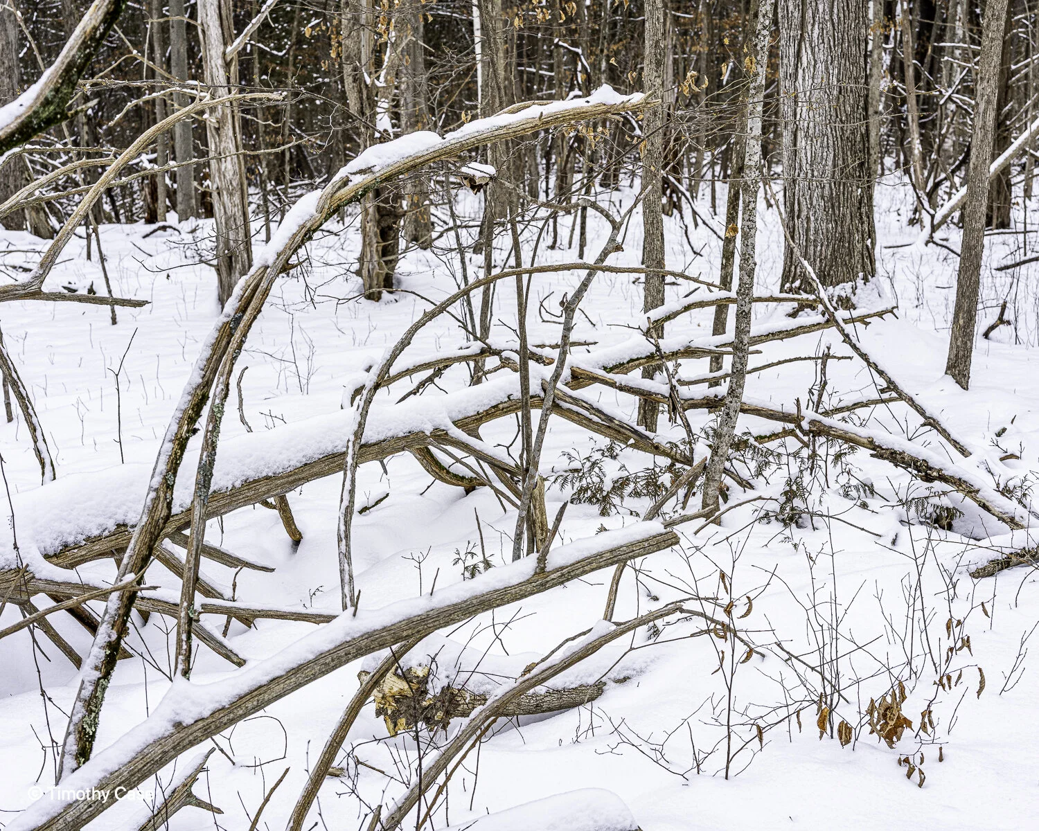
Mount Independence State Historic Site and National Historic Landmark is a Revolutionary War site on the Vermont side of Lake Champlain. Fortifications were constructed in July 1776 in anticipation of an attack from British forces and the site was overrun a year later by those forces. The site is only about .25 mile from NY across the lake at its narrowest point. In winter, skiers, snowshoers, and hikers use the trails. There is a visitor’s center and about 6 miles of trails. Historical markers have been placed throughout the site. Today, we hiked in our boots, although we saw fresh snowshoe tracks. We also saw cross country ski tracks but we were the only people using the trails when we were there. We hiked about 3 miles, but we walked slowly to absorb the cold, quiet environment and the gorgeous trees in the snowy setting. I took 100 photos today, far more than usual on our walks, which speaks to the magical quality of the place today. Everywhere I looked something beckoned: a snowy old tree; a tangle, snag, or an interesting branching of limbs; even an occasional bit of color in the otherwise monotone landscape. The day’s temperatures were in the low 20s and we enjoyed snow most of the day. Late in the day, however, the skies cleared ahead of a frigid cold front with low temperatures expected in single-digit below zeros. While we didn’t see a lot of wildlife, we did encounter an impressively sized Osprey, which is a fairly common sight along the shores of Lake Champlain. Although our focus was not on identifying trees today, I will label the ones that I recognize and follow up later to identify the ones that I cannot identify from its photo.
I use a Garmin GPS tracker when I photograph, and the photo processing software I mostly use, Adobe Lightroom, supports importing the tracks and matches the time stamp of the photo and adds the GPS coordinates photo’s metadata. This procedure allows me to know the exact location of any subject that I’ve photographed. I do this primarily because I have a new project to make baseline photos of forests and trees and to return over a period of time to rephotograph them in order to document the impacts of climate change. I haven’t fully worked out the scope of this project, but I am considering measuring and adding the diameter of selected trees in order indicate their growth. I am using my other website, www.landscapephotographygeography.com, to show the results. The website already includes baseline photos of the sea level in Copenhagen that my students made in 2018.