
timcase@mac.com
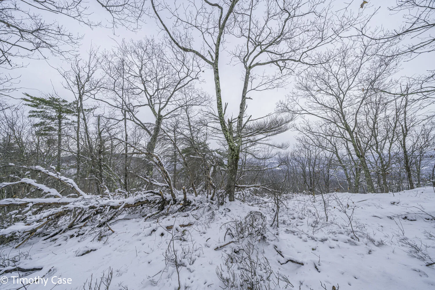
Hawk Hill Trails
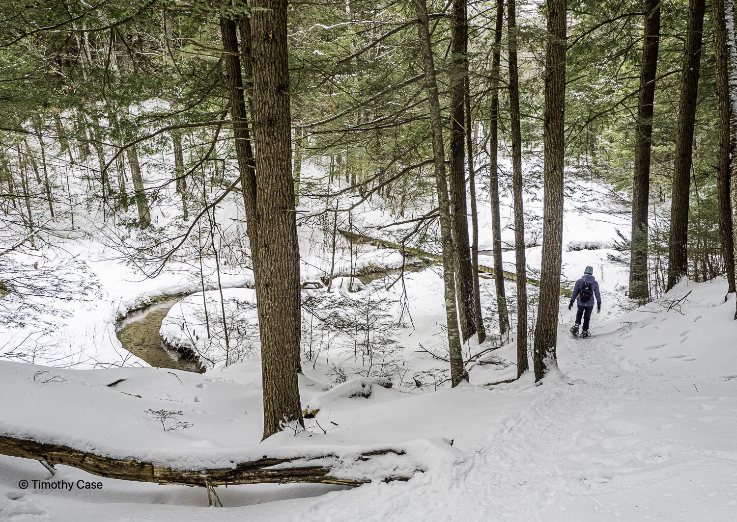
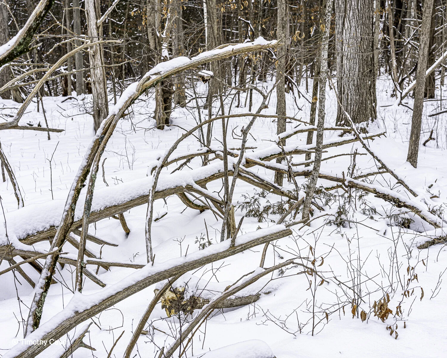
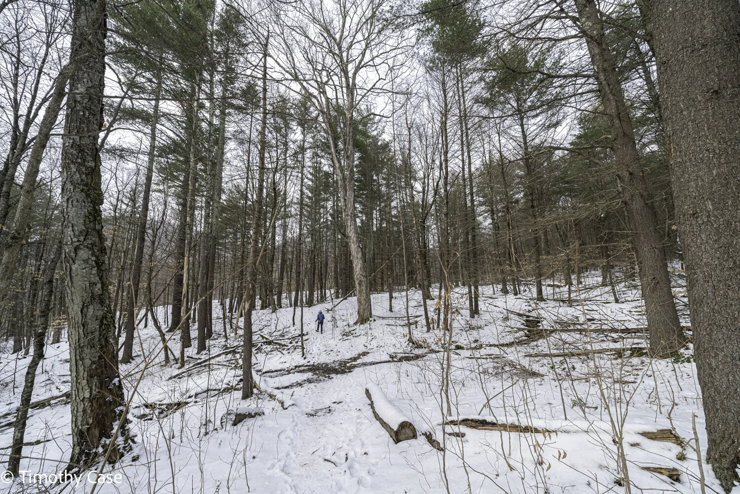
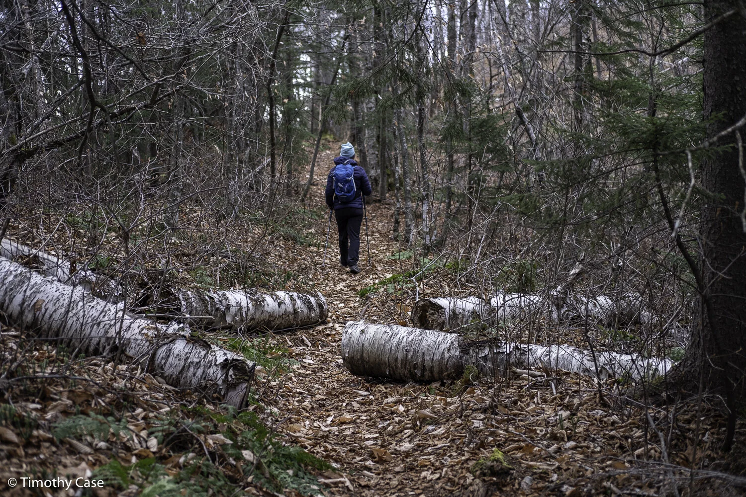
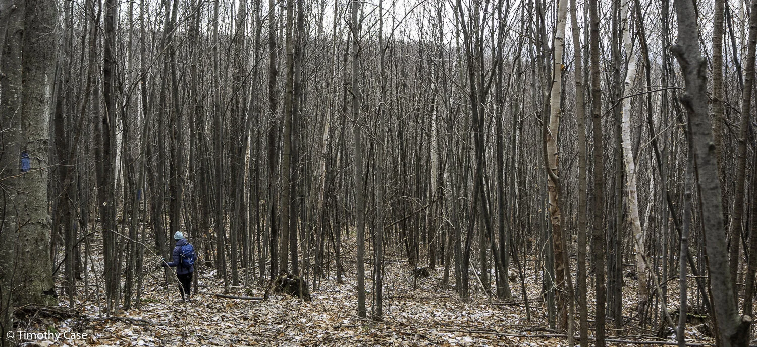
Behind Otter Valley Union HS Off Rte 7 south of Brandon, this series of marked trails is, by Vermont standards, more undulating than hilly and is perfect for snowshoeing. It’s a beautiful old forest, mostly Hemlock and Birch, and includes an enormous oak tree said to be 350 years old. I believe it’s a white oak, but I’ll return when the leaves are out to confirm. We got a late start today and didn’t have time to complete all of the trails, but the irregular terrain and old trees make this a special forest and I’m looking forward to returning soon.
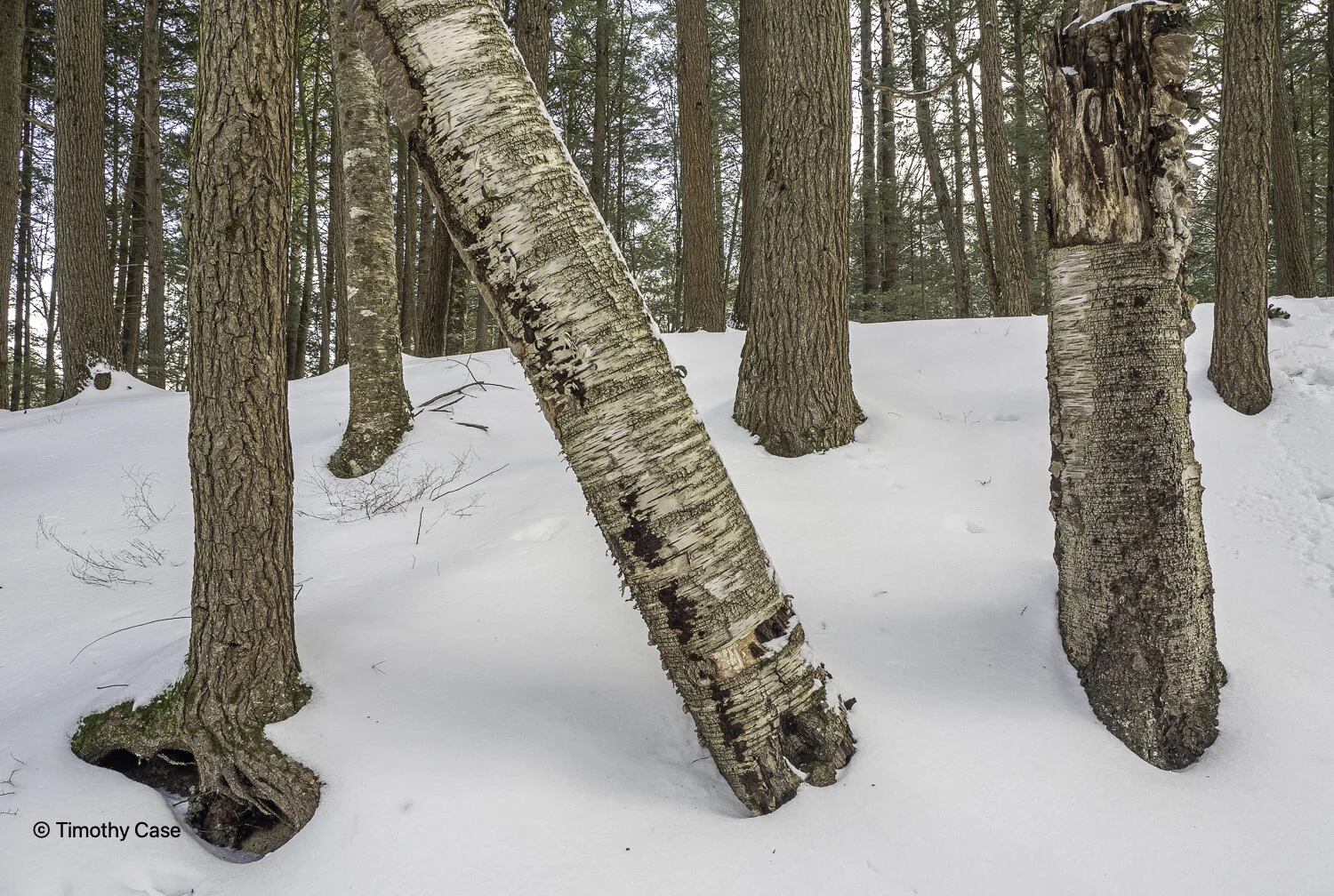
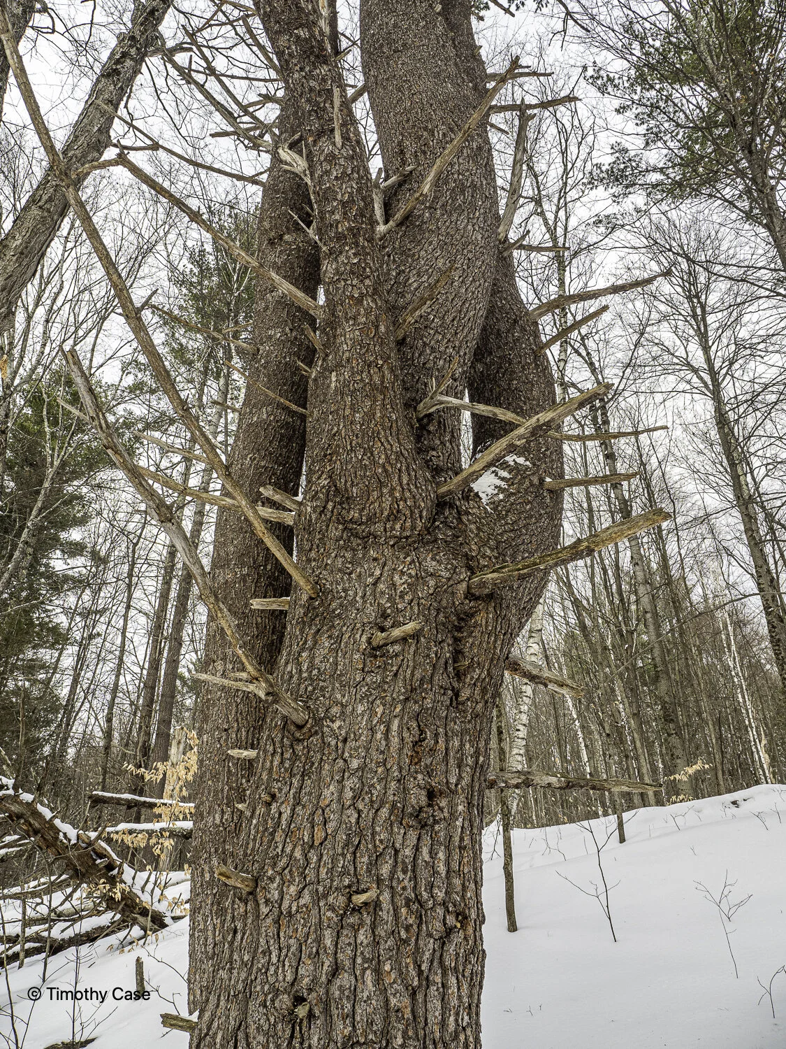
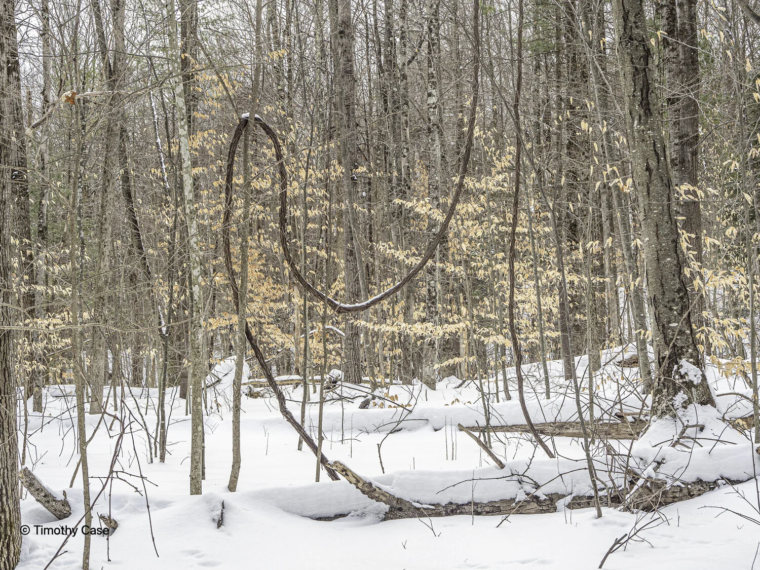
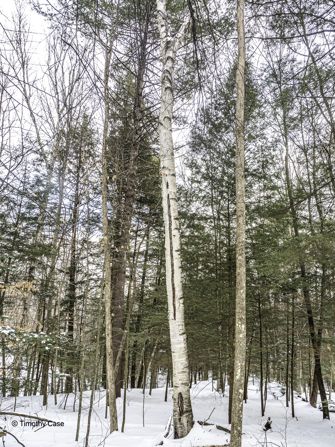
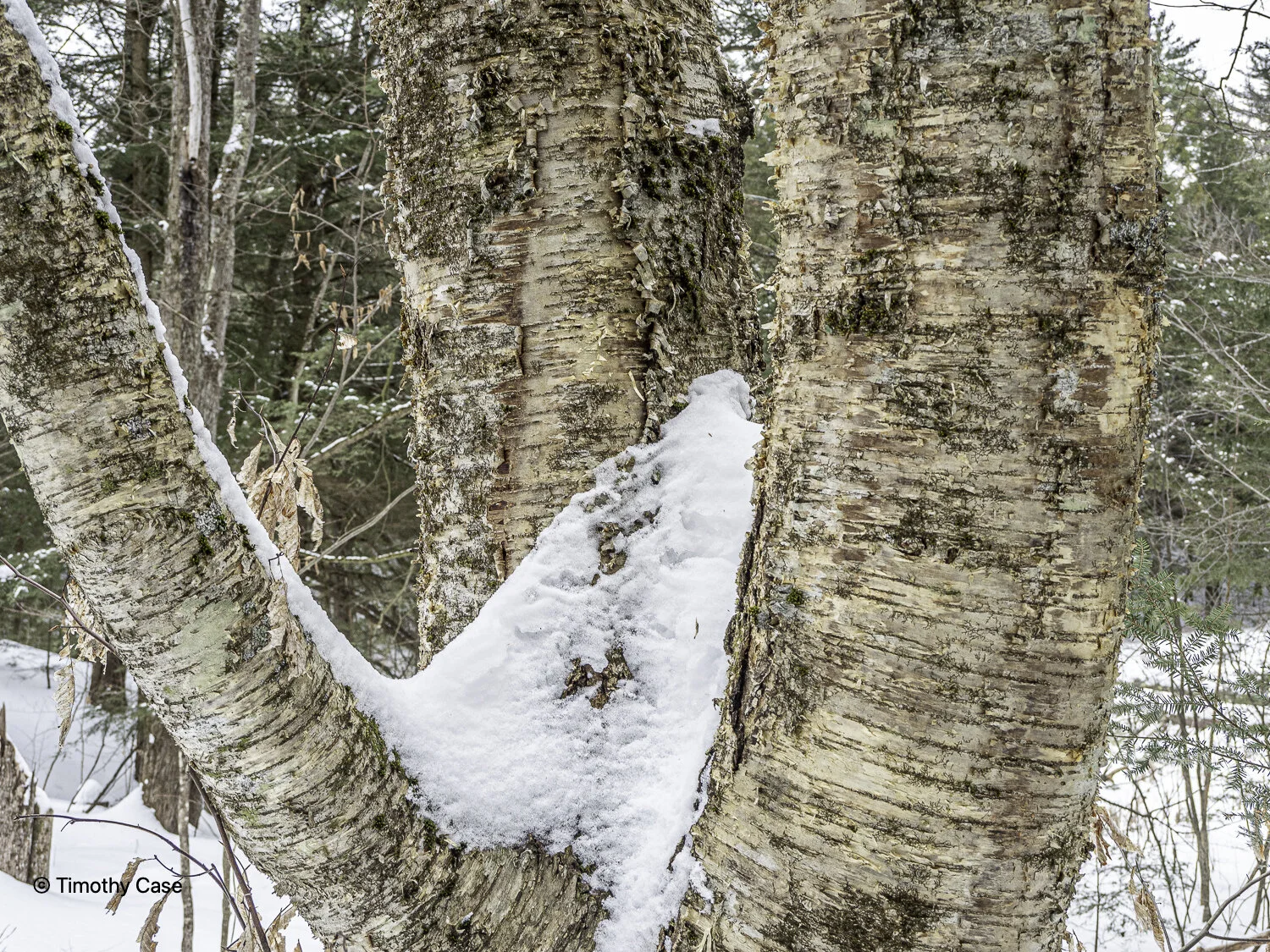
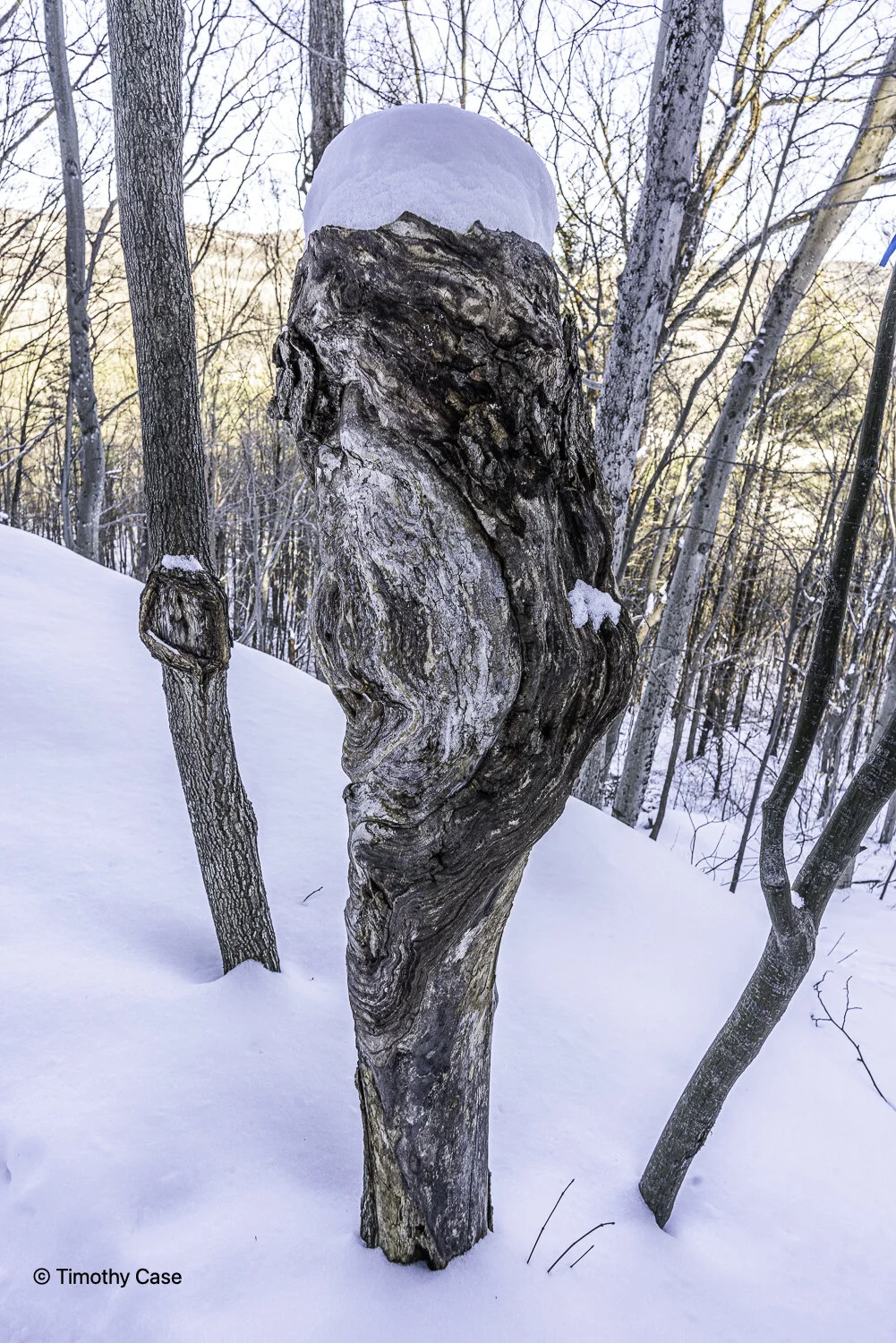
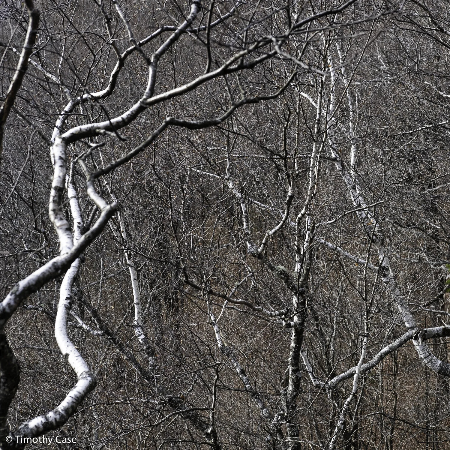
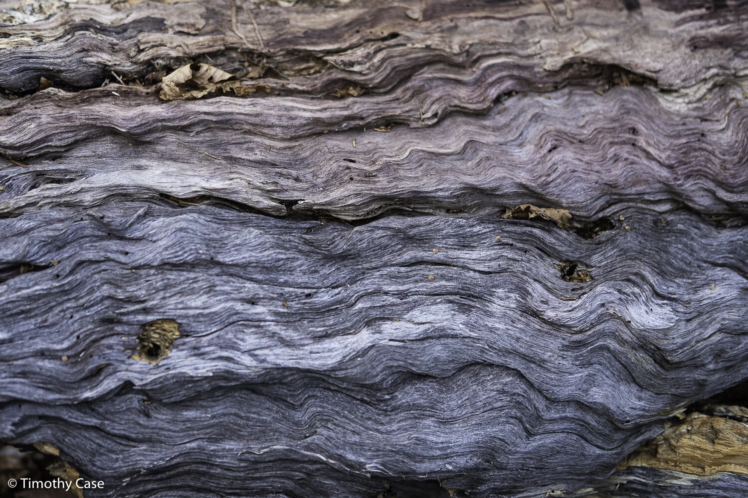
Grey Birch
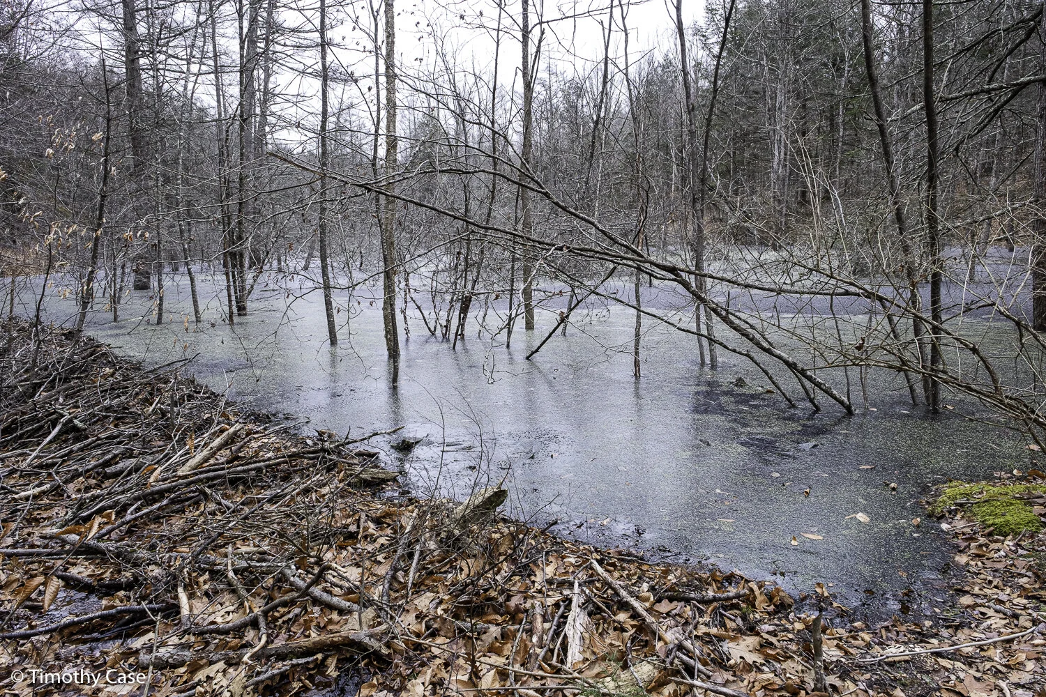
Hawk Hill Trails, 02.19.2021
Olympus M5II and Olympus 12-45 f/4
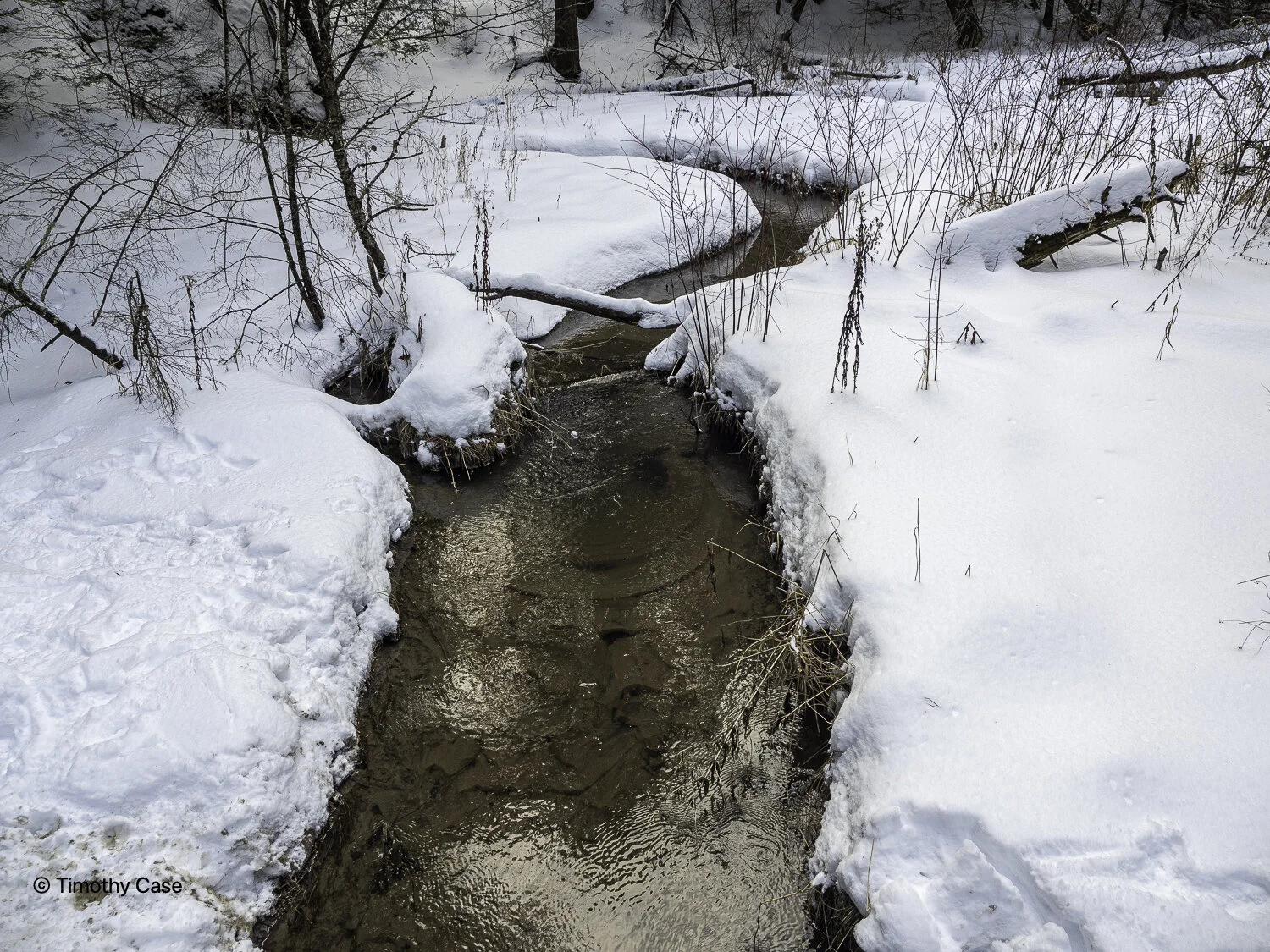
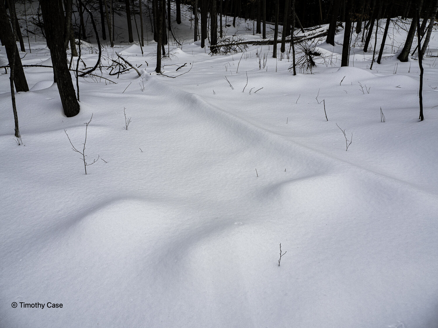
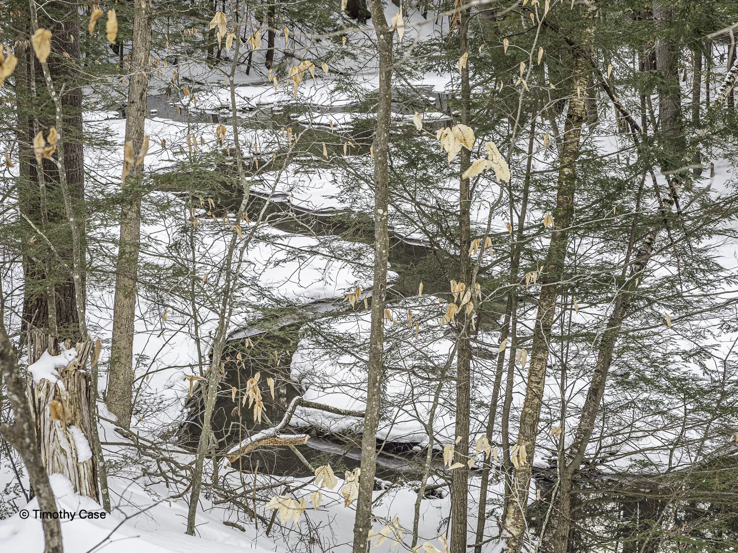
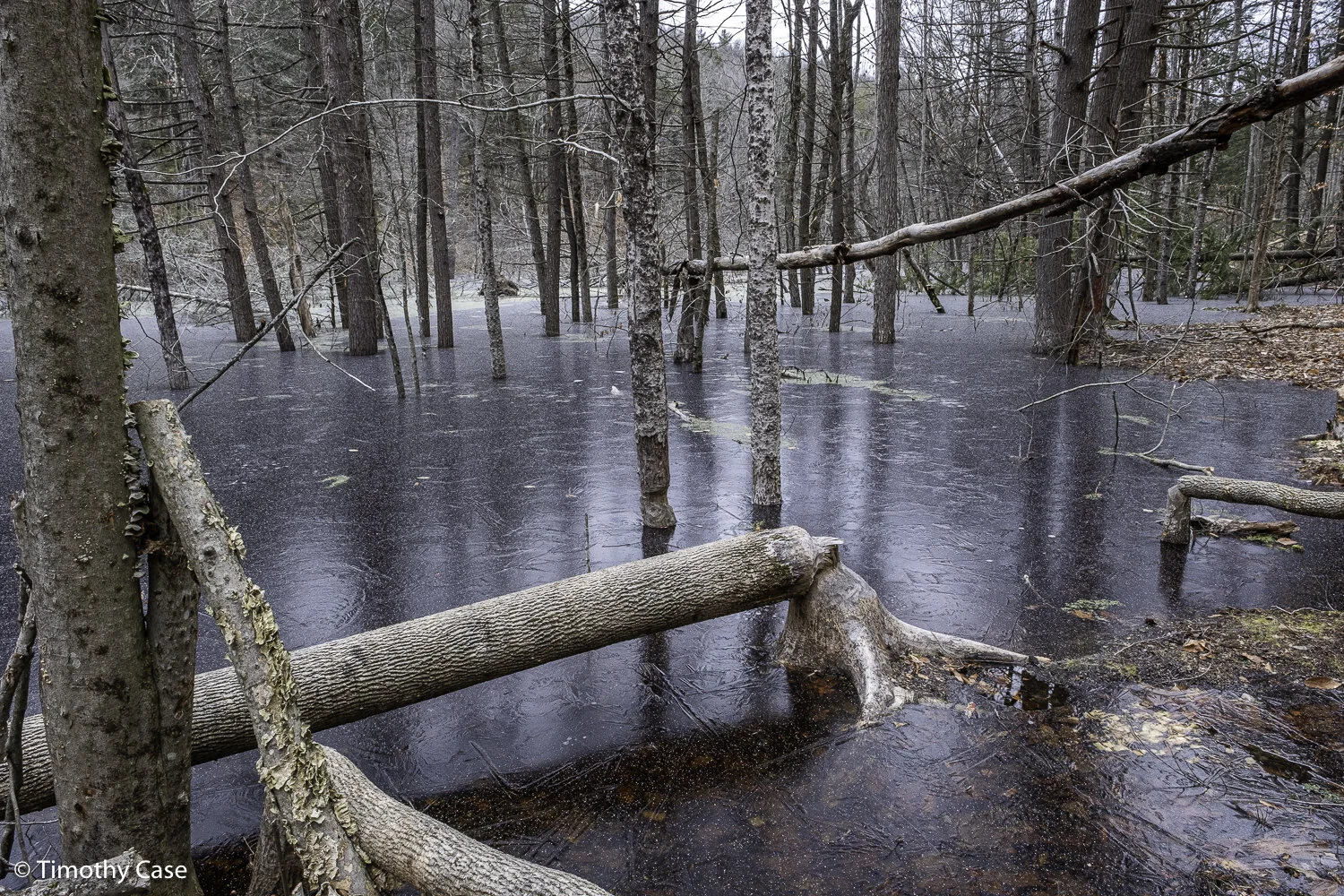
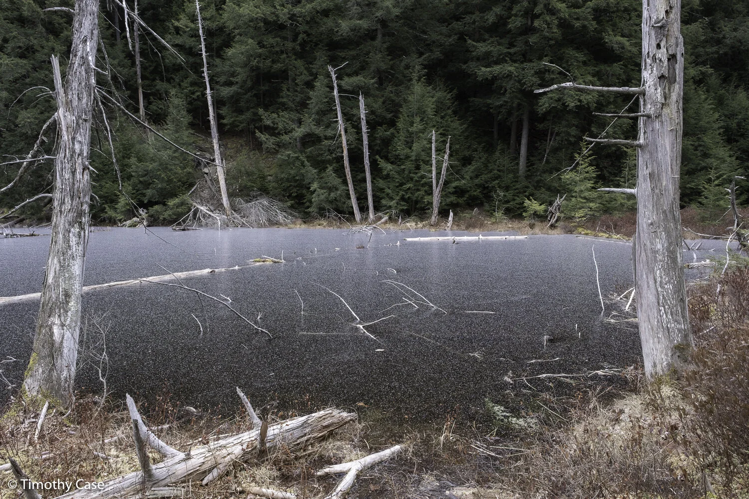
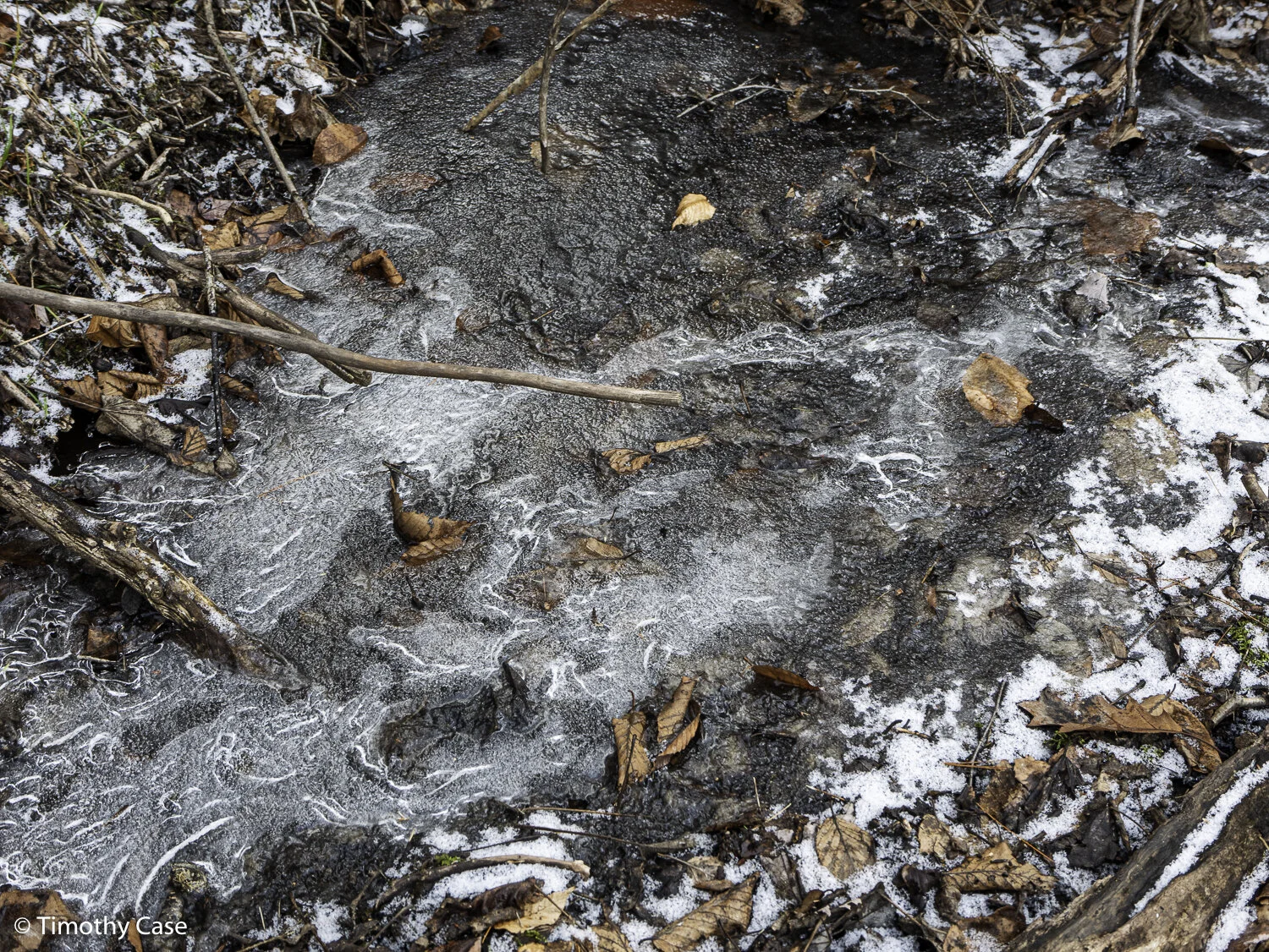
This small tributory flows into nearby Otter Creek, which in turn flows north to Middlebury and continues on to Lake Champlain. Otter Creek is a wonderful river to kayak.
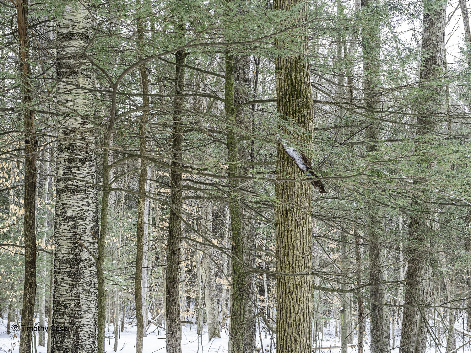
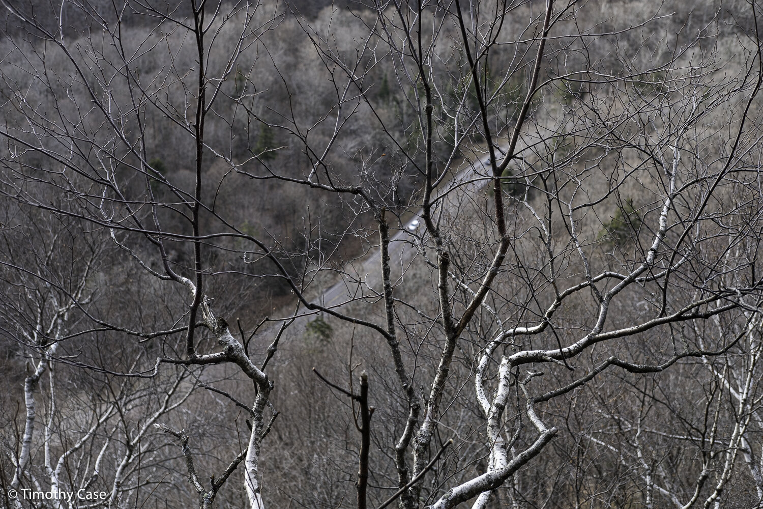
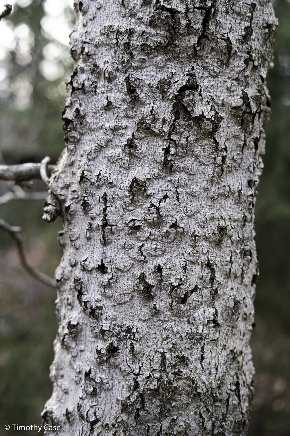
Hawk Hill Trails, 02.19.2021
Olympus M5II and Olympus 12-45 f/4
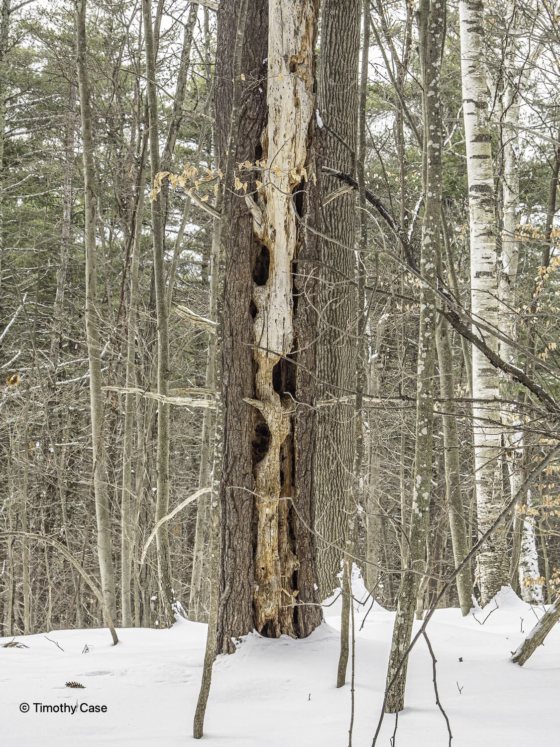
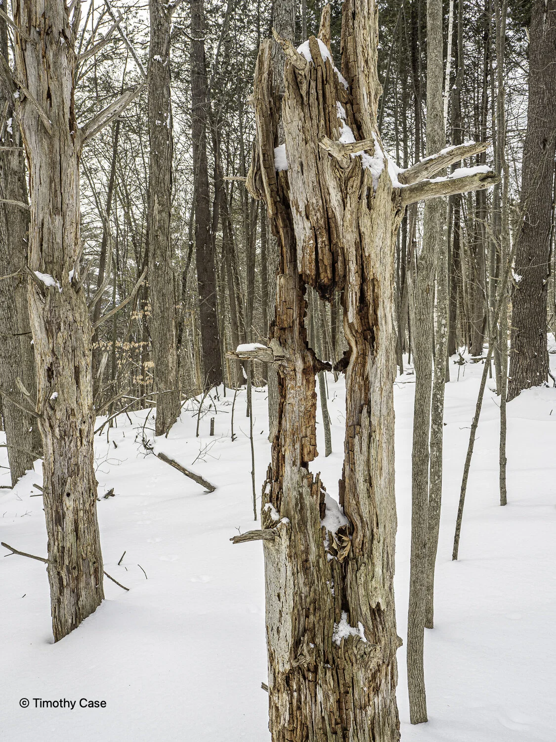
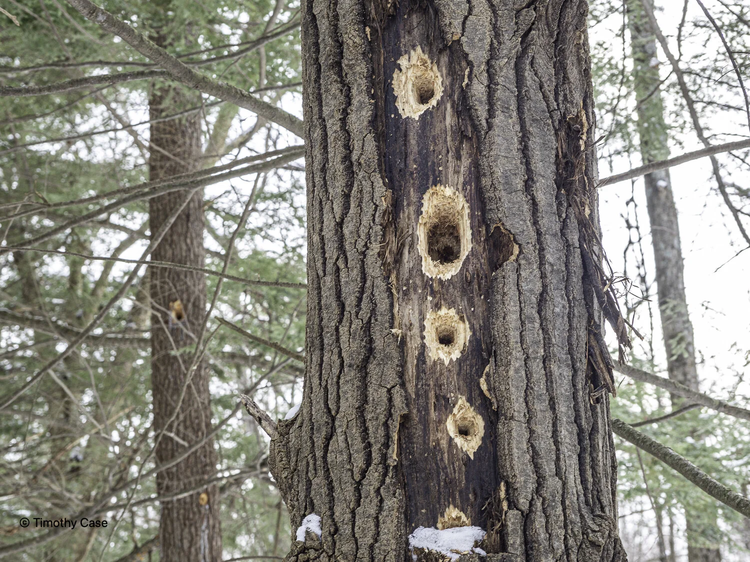
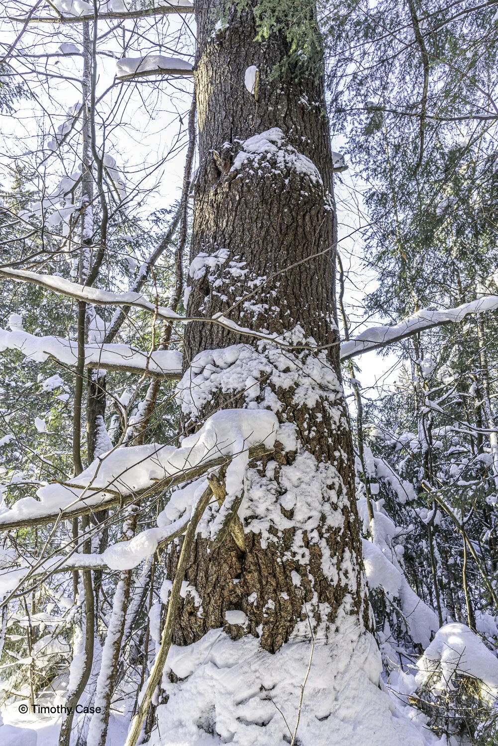
The interior of this Eastern Hemlock tree is decomposing much faster than its bark.
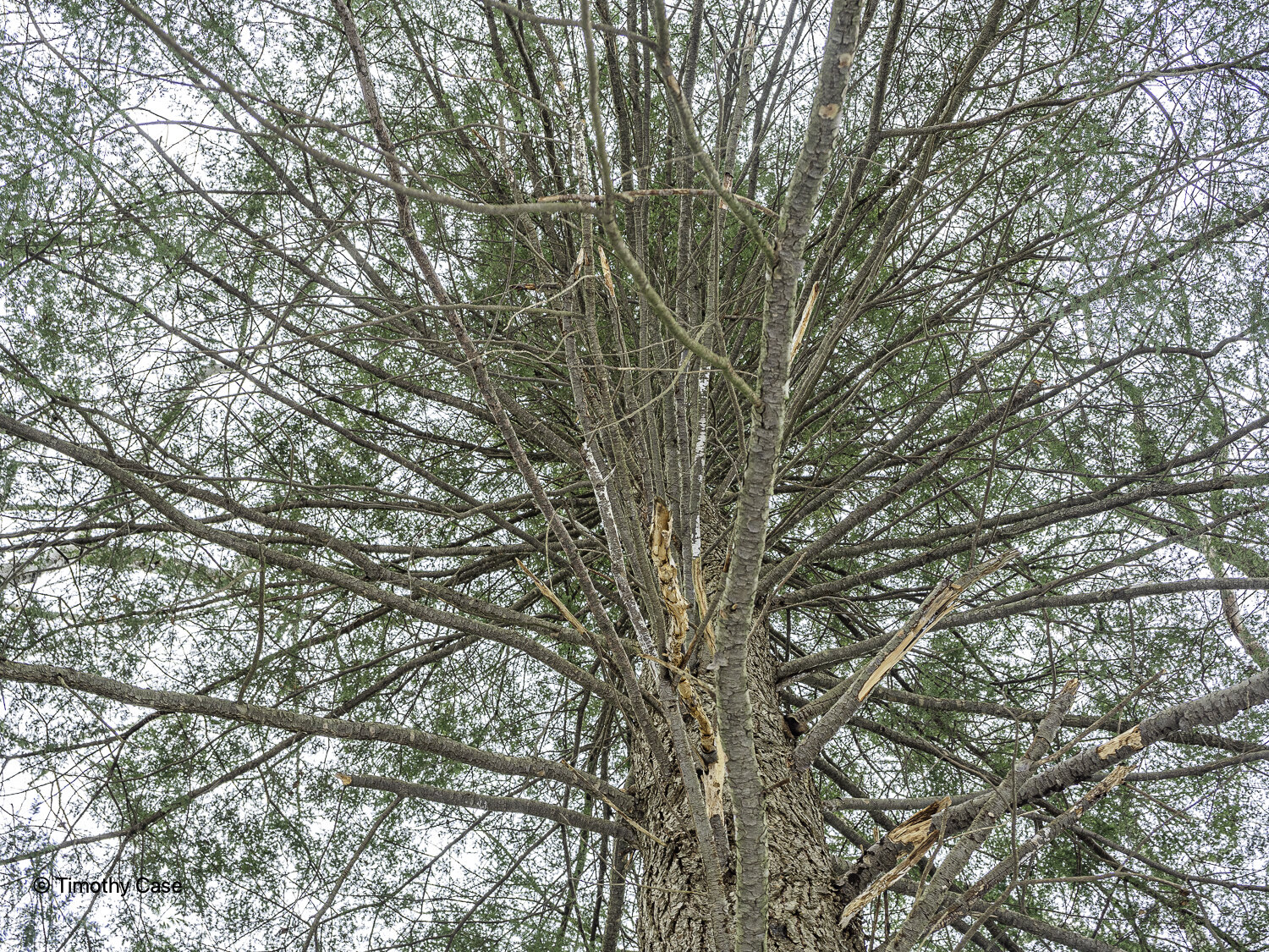
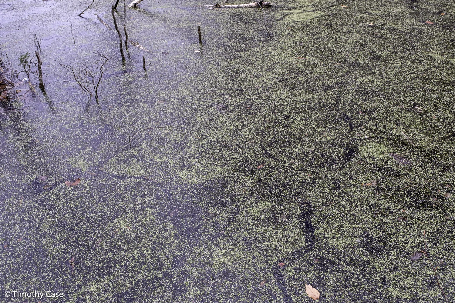
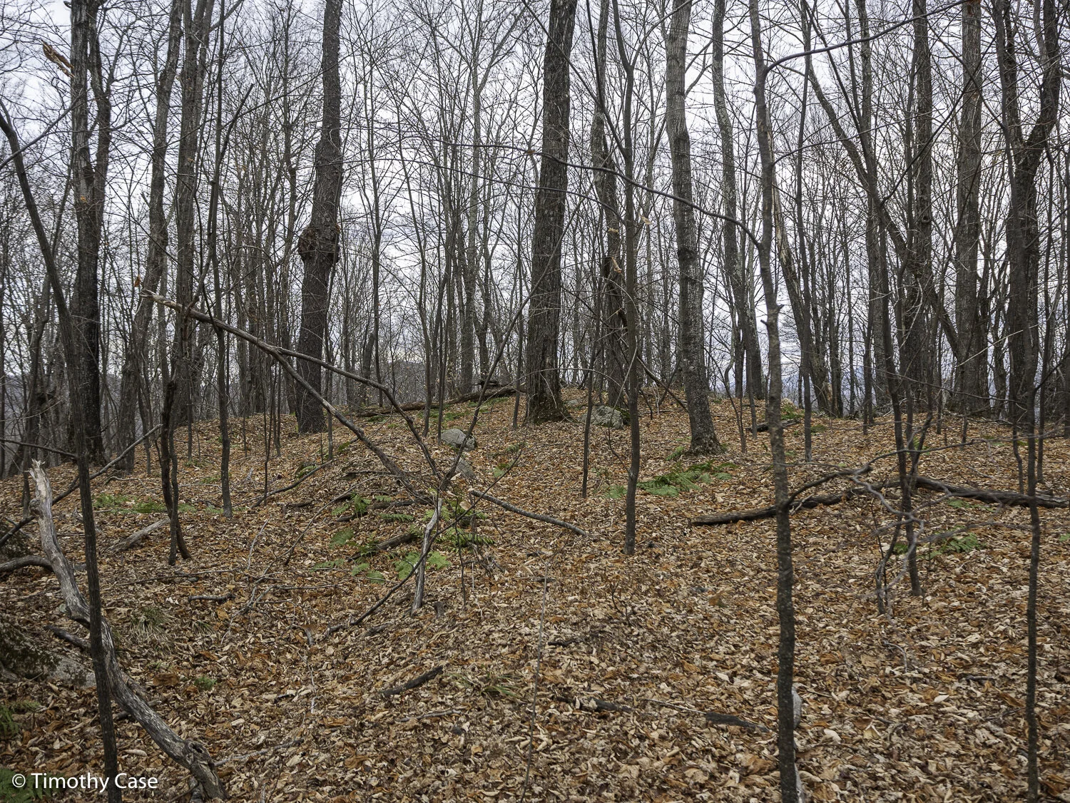
Hawk Hill Trails, 02.19.2021
Olympus M5II and Olympus 12-45 f/4
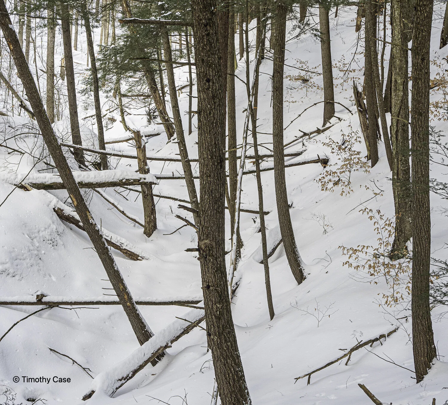
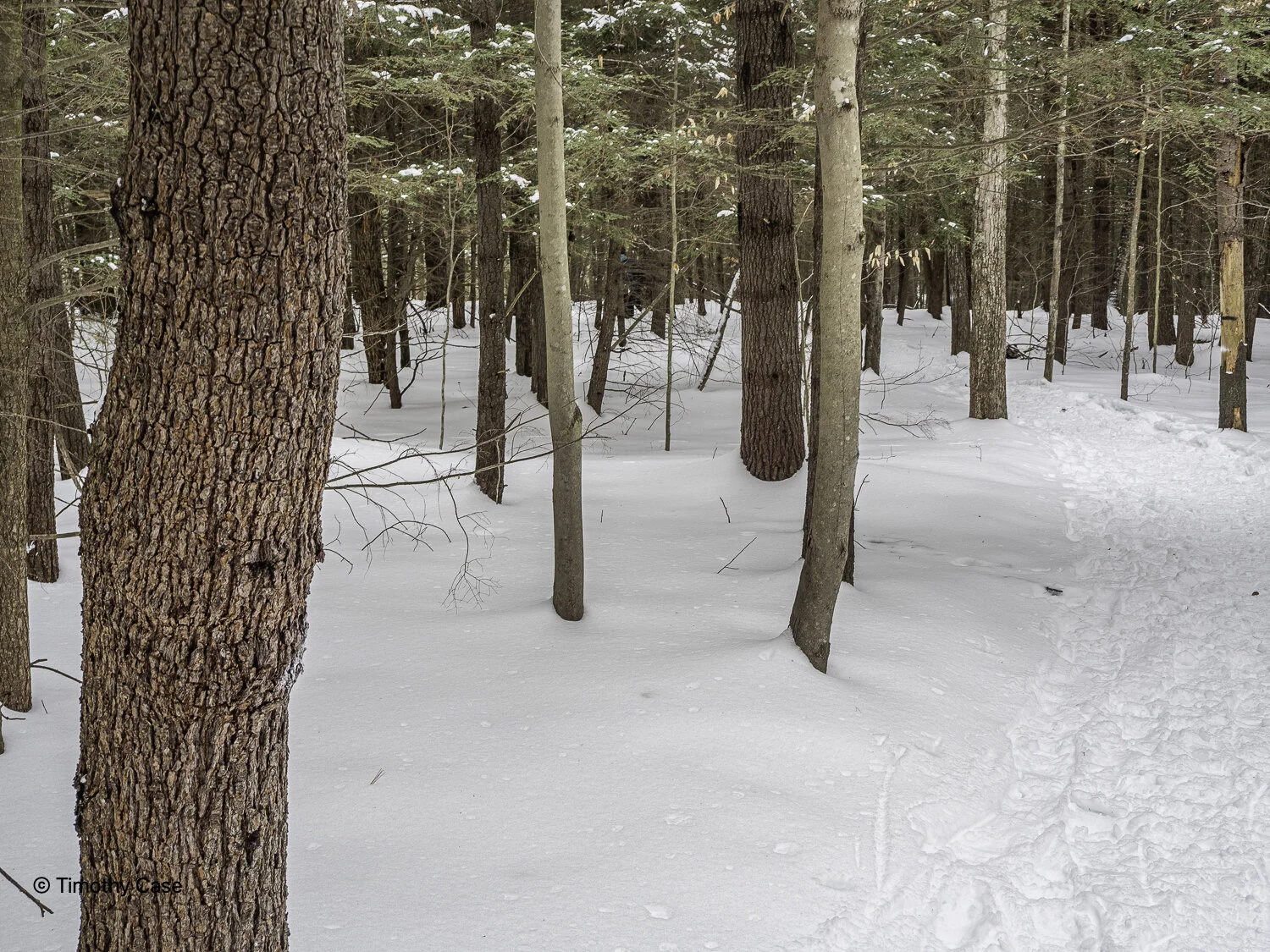
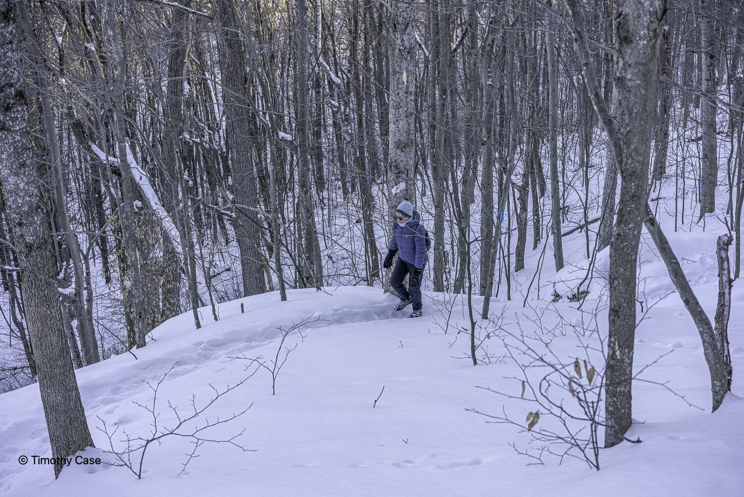
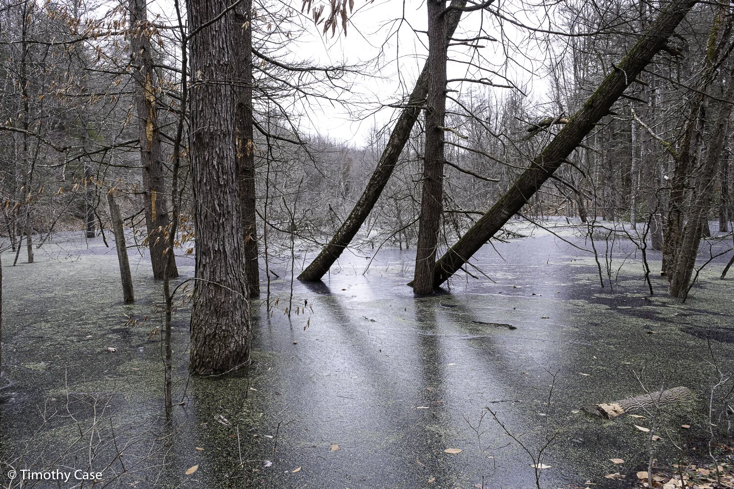
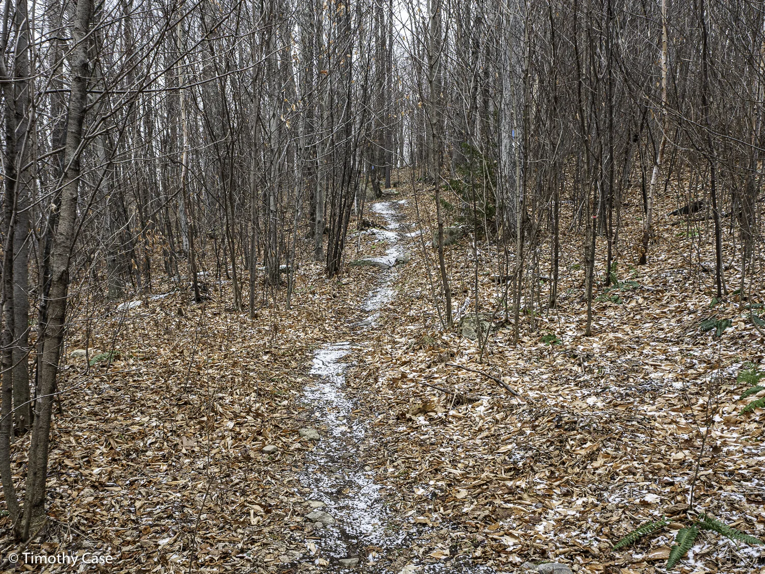
Hawk Hill Trails, 02.19.2021
Olympus M5II and Olympus 12-45 f/4
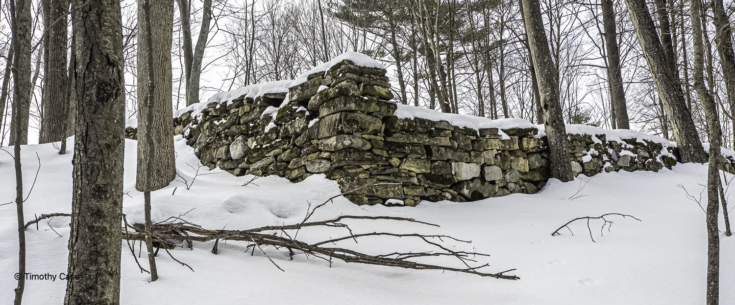
Cemetery Wall
Hawk Hill Trails, 02.19.2021
Olympus M5II and Olympus 12-45 f/4
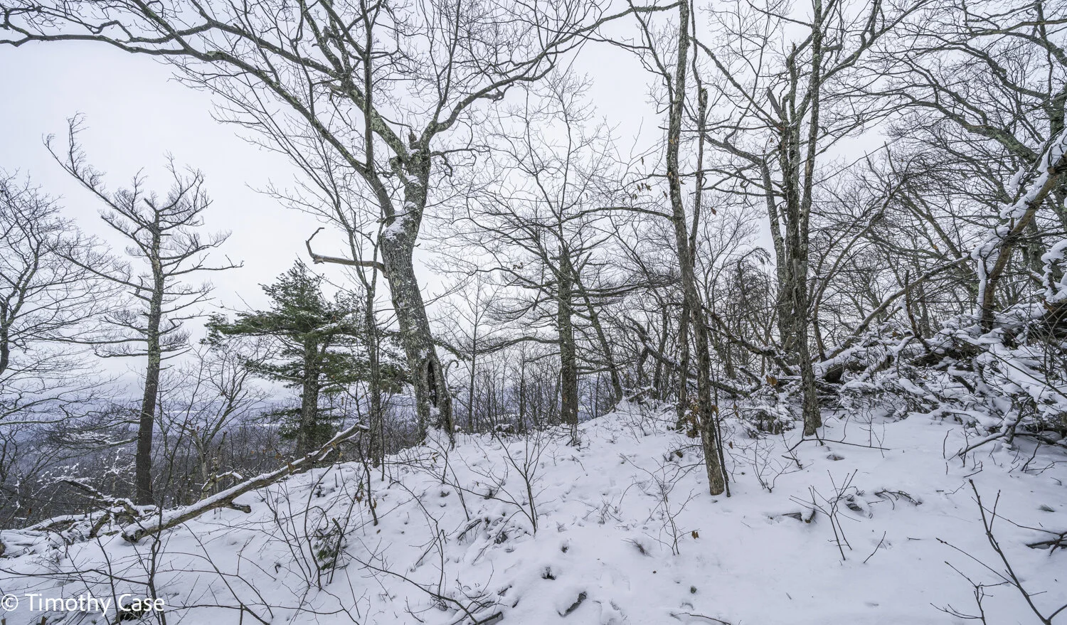
Hawk Hill Trails, 02.19.2021
Olympus M5II and Olympus 12-45 f/4
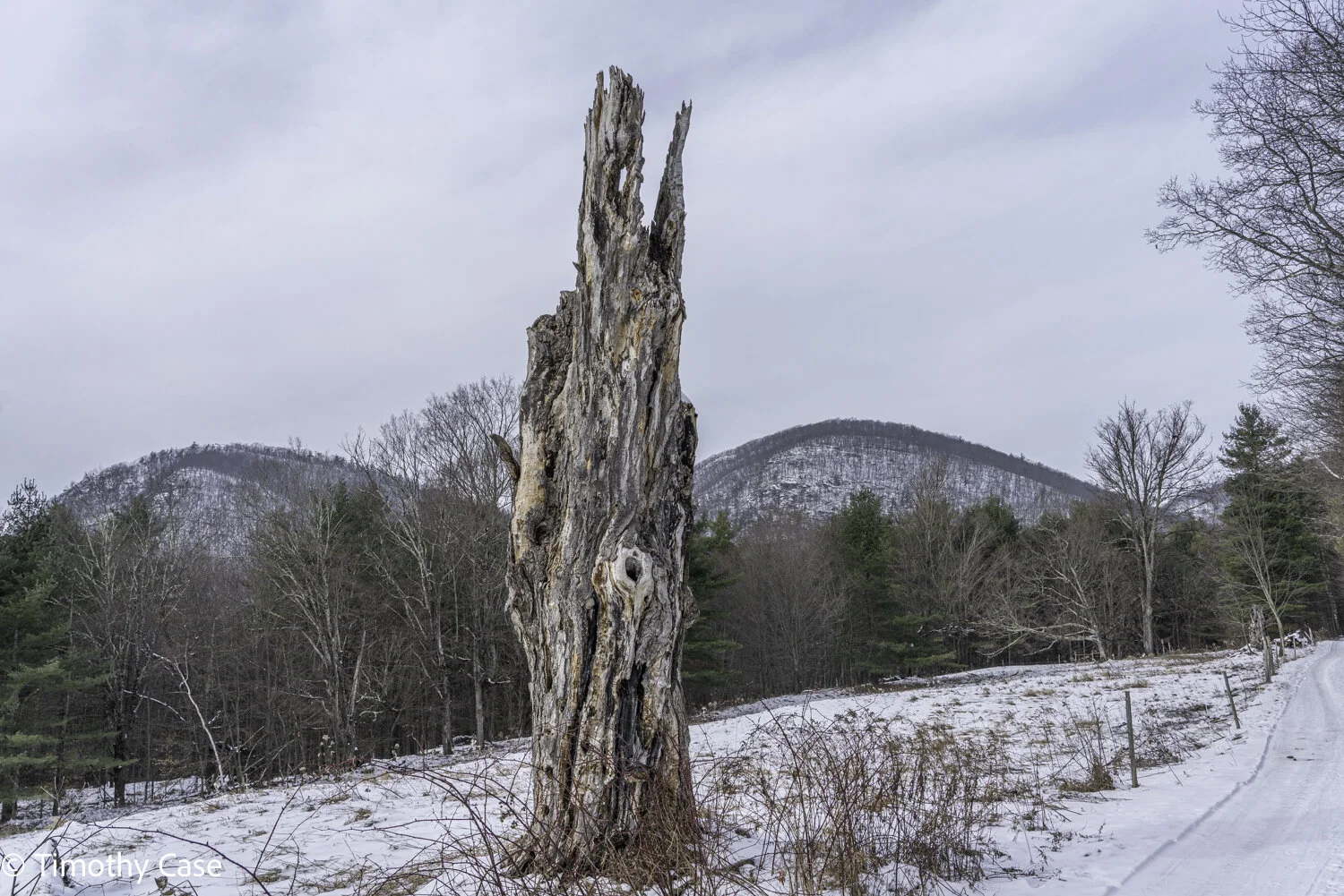
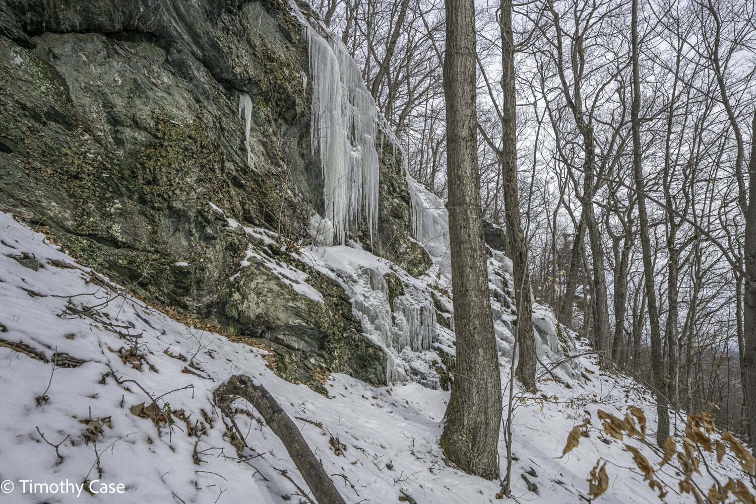
Hemlock Snag
Hawk Hill Trails, 02.19.2021
Olympus M5II and Olympus 12-45 f/4
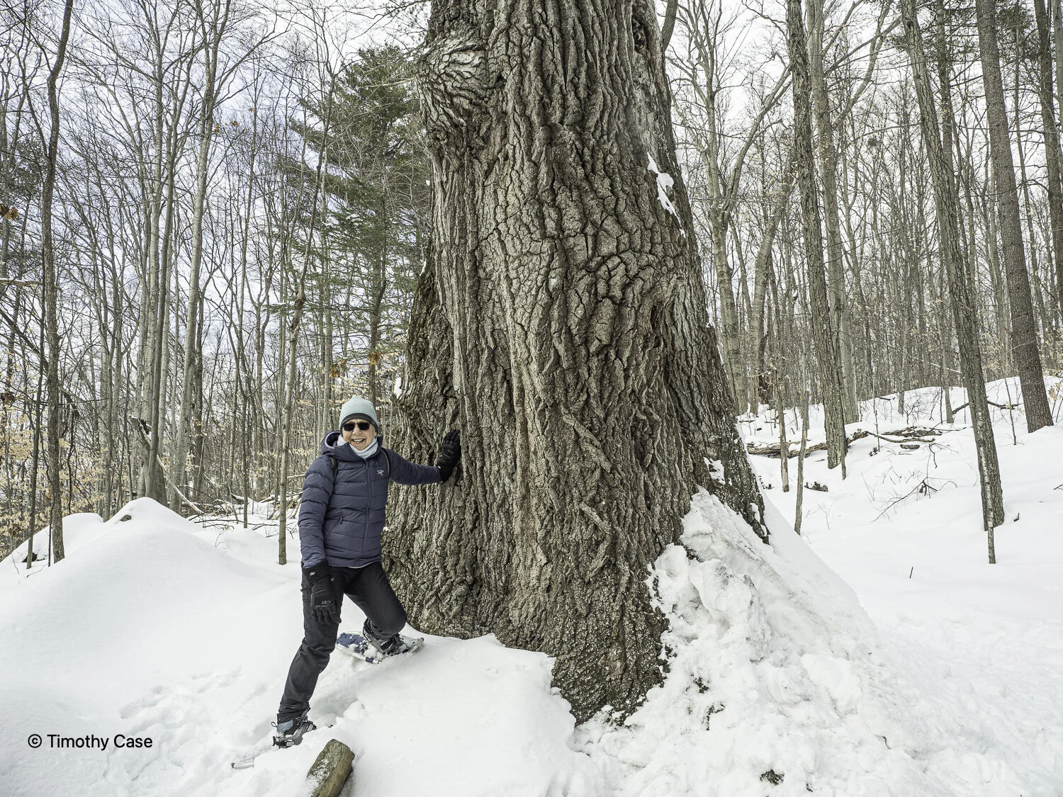
Barbara and 350 year old White Oak.
Hawk Hill Trails, 02.19.2021
Olympus M5II and Olympus 12-45 f/4
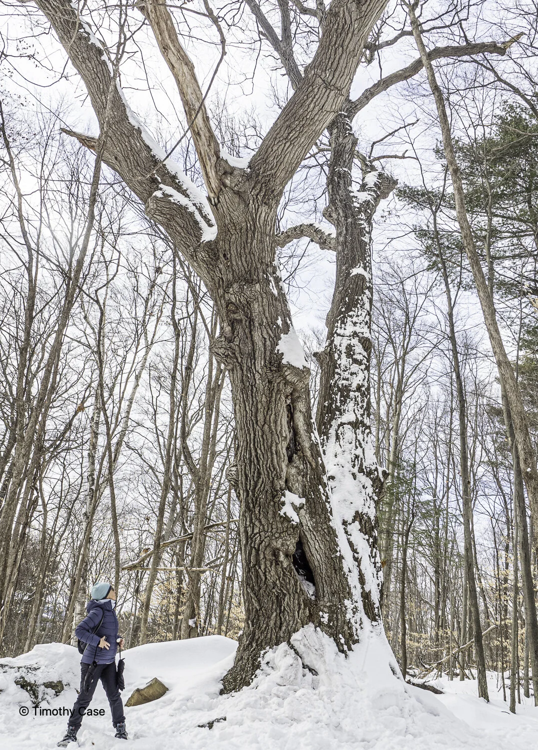
Barbara admiring this massive old oak tree. We’ll return to measure the diameter of this magnificent denizen
Hawk Hill Trails, 02.19.2021
Olympus M5II and Olympus 12-45 f/4
Hawk Hill Trails, 02.19.2021
Olympus M5II and Olympus 12-45 f/4
Hawk Hill Trails, 02.19.2021
Olympus M5II and Olympus 12-45 f/4
Hawk Hill Trails, 02.19.2021
Olympus M5II and Olympus 12-45 f/4
Grey birch with freeze damage.
Hawk Hill Trails, 02.19.2021
Olympus M5II and Olympus 12-45 f/4
Hawk Hill Trails, 02.19.2021
Olympus M5II and Olympus 12-45 f/4
Hawk Hill Trails, 02.19.2021
Olympus M5II and Olympus 12-45 f/4
Hawk Hill Trails, 02.19.2021
Olympus M5II and Olympus 12-45 f/4
Hawk Hill Trails, 02.19.2021
Olympus M5II and Olympus 12-45 f/4
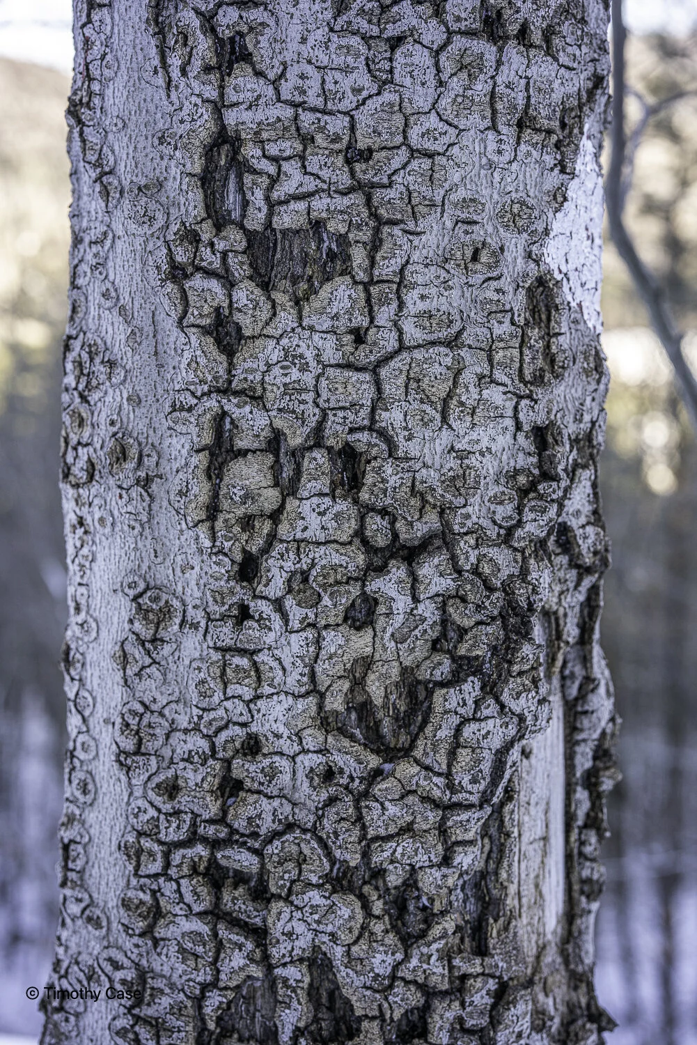
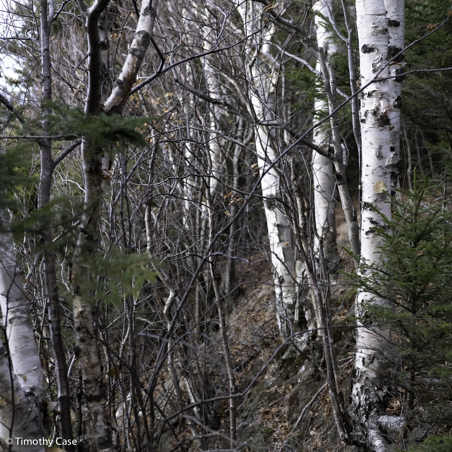
Yellow Birch
Hawk Hill Trails, 02.19.2021
Olympus M5II and Olympus 12-45 f/4
Hawk Hill Trails, 02-19-2021
Olympus M5II and Olympus 12-45 f/4
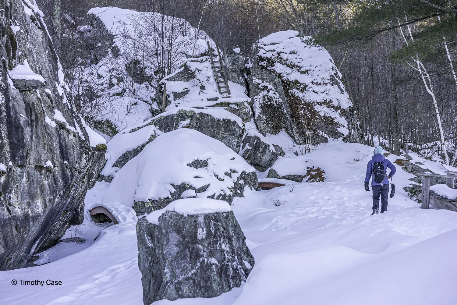
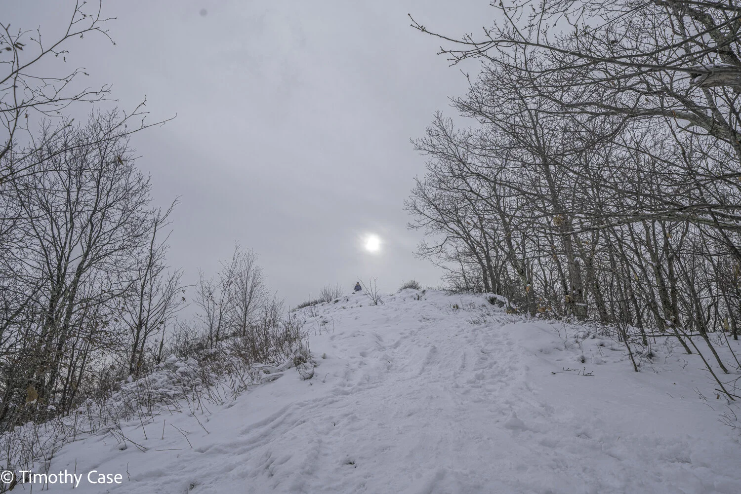
Taconic Ramble State Park #2
Barbara coming up a brief flatter section of the Spring Trail.
Taconic Ramble State Park, 02-08-2021
Sony A7R2 and Voitlander 50mm f2
Not a walk in the park. Nope, this was a climb up the steep side of a snowy mountain. In hindsight, we were slack and should have carried our packs with safety gear and used our hiking poles. We didn’t use our snowshoes, either, but then the trail was so steep and narrow that I don’t think they were usable anyway. My, though, what a view from the top! As I carried my full-on photo kit for hiking (camera, 3 lenses and a tripod), I made a high resolution multi-shot panorama of the valley and Taconic Range mountains in the background. This type of photo is too large for posting on the web, however, and is best suited for printing.
The day, though was gorgeous—full sun with temperatures in the teens and no wind whatsoever. When we stopped to listen, there was no sound, just complete quiet. Wonderful! We’ll definitely return in spring.
Snag
Taconic Ramble SP, 02.08.2021
Sony A7R2 & Voitlander 50mm f2
Intricate patterning on the bark on this tree.
Taconic Ramble State Park, 02-08-2021
Sony A7R2 and Voitlander 50mm f2
The Japanese-inspired garden in the park.
Taconic Ramble State Park, 02-08-2021
Sony A7R2 and Voitlander 50mm f2
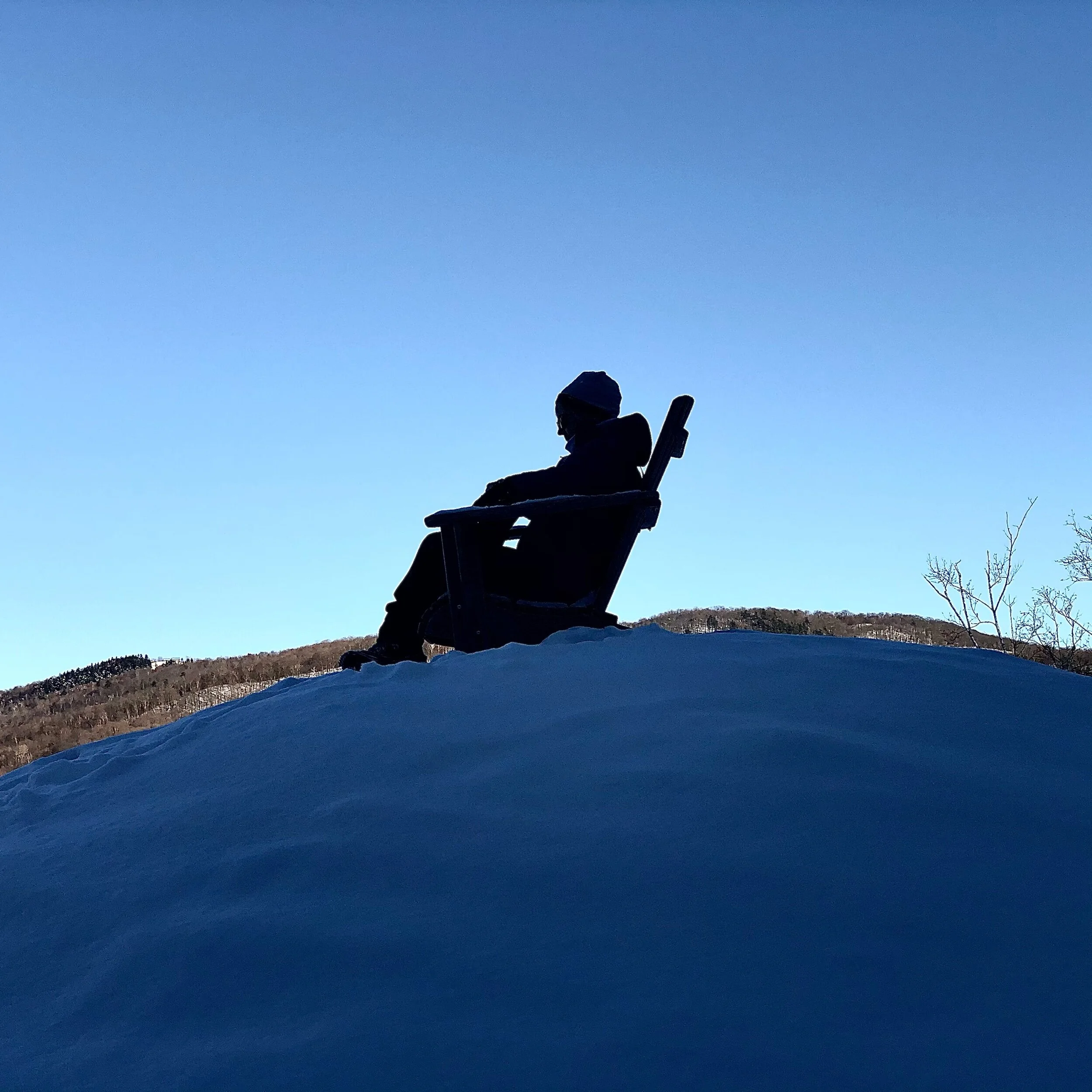
Barbara taking in the view from atop a mound in the Japanese-inspired garden.
Taconic Ramble State Park, 02-08-2021
Apple iPhone X
Water Tower Trails
The deeply grooved bark indicates that this is a very old tree. It has a diameter of 42”, only 2” less than the largest hemlock in Vermont. This specimen is probably over 300 years old.
Robert Frost Interpretative Trail 02-04-2021
Sony A7R2 and Voitlander 21mm f/3.5
The Robert Frost Interpretative Trail is fairly short, probably less than a mile, and it winds through a lovely, mostly flat landscape with meadows, forest, and some large isolated trees. The South Branch of the Middlebury River meanders through, too. There are also several footbridges, some raised wooden walking platforms over the river and the wet, boggy sections, and numerous well-placed benches facing spectacular views. Robert Frost’s cabin is less than a mile from here and a feature of this trail is the set of engraved placards with his poetry that have been placed alongside the trail at various points. It’s a beautiful setting and the poetry is inspiring.
The snow was much deeper here in the mountains than in the valley, which is always the case, of course. Today’s temperatures up here were a few degrees colder than in the valley but still mild, in the low 30’s. The skies were clear and the air was still. We decided not to wear snowshoes, although that decision could have gone either way as parts of the trail were well packed from use, while other parts were untrod and the going was slow.
The interpretative trail connects with another set of trails higher up the mountain, and the one we took today led to a hemlock climax forest. One of the trees was very large and with the thick bark of old hemlocks and we stopped to measure its diameter. The largest hemlock in Vermont is in Waitsfield and has a diameter of 44”. The one we measured today is almost as large with a diameter of 42”. Impressive! We’ll visit the hemlock in Waitsfield to measure and photograph it.

Big gobs of snow along the trail.
Robert Frost Interpretative Trail+ 02-04-2021
Sony A7R2 and Voitlander 21mm f/3.5

South Fork of the Middlebury River
Robert Frost Interpretative Trail 02-04-2021
Sony A7R2 and Voitlander 21mm f/3.5

South Fork of the Middlebury River (Detail)
Robert Frost Interpretative Trail 02-04-2021
Sony A7R2 and Voitlander 21mm f/3.5

Tracks in the Snow
Robert Frost Interpretative Trail+ 02-04-2021
Sony A7R2 and Voitlander 21mm f/3.5

View of the Hemlock Climax Forest
Robert Frost Interpretative Trail+, 02-04-2021
Sony A7R2 and Voitlander 21mm f/3.5

Meadow Adjacent to the Hemlock Forest with Bread Loaf Mountain the Background
Robert Frost Interpretative Trail+, 02-04-2021
Sony A7R2 and Voitlander 50mm f/2

Barbara on the Snowy Forest Trail
Robert Frost Interpretative Trail+, 02-04-2021
Sony A7R2 and Voitlander 21mm f/3.5
Mount Independence
Mount Independence State Historic Site and National Historic Landmark is a Revolutionary War site on the Vermont side of Lake Champlain. Fortifications were constructed in July 1776 in anticipation of an attack from British forces and the site was overrun a year later by those forces. The site is only about .25 mile from NY across the lake at its narrowest point. In winter, skiers, snowshoers, and hikers use the trails. There is a visitor’s center and about 6 miles of trails. Historical markers have been placed throughout the site. Today, we hiked in our boots, although we saw fresh snowshoe tracks. We also saw cross country ski tracks but we were the only people using the trails when we were there. We hiked about 3 miles, but we walked slowly to absorb the cold, quiet environment and the gorgeous trees in the snowy setting. I took 100 photos today, far more than usual on our walks, which speaks to the magical quality of the place today. Everywhere I looked something beckoned: a snowy old tree; a tangle, snag, or an interesting branching of limbs; even an occasional bit of color in the otherwise monotone landscape. The day’s temperatures were in the low 20s and we enjoyed snow most of the day. Late in the day, however, the skies cleared ahead of a frigid cold front with low temperatures expected in single-digit below zeros. While we didn’t see a lot of wildlife, we did encounter an impressively sized Osprey, which is a fairly common sight along the shores of Lake Champlain. Although our focus was not on identifying trees today, I will label the ones that I recognize and follow up later to identify the ones that I cannot identify from its photo.
I use a Garmin GPS tracker when I photograph, and the photo processing software I mostly use, Adobe Lightroom, supports importing the tracks and matches the time stamp of the photo and adds the GPS coordinates photo’s metadata. This procedure allows me to know the exact location of any subject that I’ve photographed. I do this primarily because I have a new project to make baseline photos of forests and trees and to return over a period of time to rephotograph them in order to document the impacts of climate change. I haven’t fully worked out the scope of this project, but I am considering measuring and adding the diameter of selected trees in order indicate their growth. I am using my other website, www.landscapephotographygeography.com, to show the results. The website already includes baseline photos of the sea level in Copenhagen that my students made in 2018.


Minnie Baker Trail #2
On Sunday, we hiked 5 miles total along Minnie Baker Trail and beyond to Rte 73 and back. Most of the first mile is uphill, which definitely got us warmed up. We dawdled to prolong being outside in today’s bright sunshine. Independently, both of us had the idea of doing some winter camping this year. That’s not going to happen, however, until we retrieve our winter tent from Evan in Maryland. Maybe next year?

Large stones above Minnie Baker Trail
Brandon, Vermont 01-25-2021
Sony A7R2 and Sony 28-70 f3.5-5.6

Leister Hollow
Leister, Vermont 01-25-2021
Sony A7R2 and Sony 28-70 f3.5-5.6

Barbara under fallen tree
Leister Hollow 01-25-2021
Sony A7R2 and Sony 28-70 f3.5-5.6
Haystack Mountain (North Pawlet Hills Natural Area)
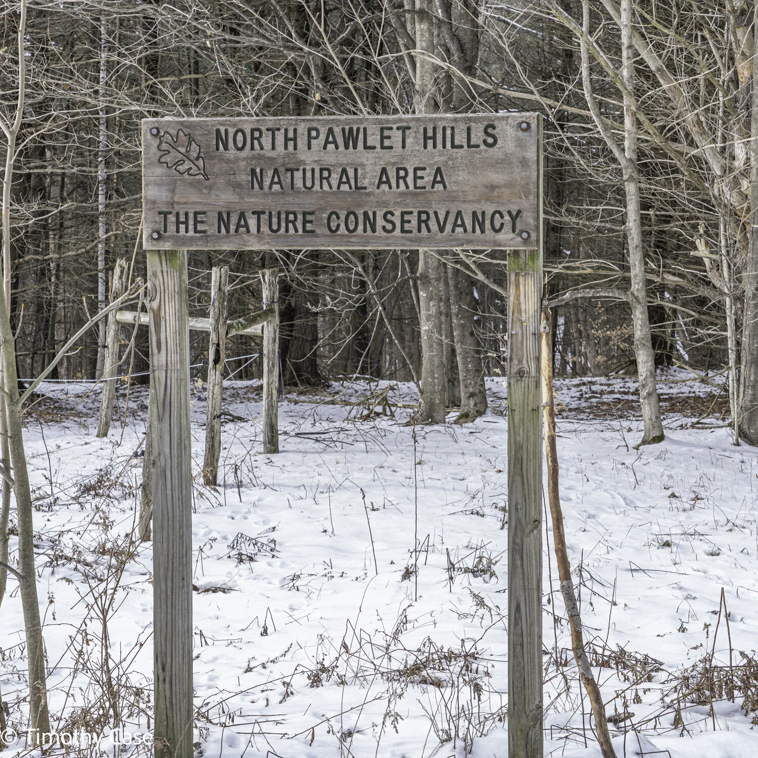
Above is the full name of the preserve, but it is well known by the name of the mountain climbed, Haystack Mountain. 01-15.2021
Sony A7R2, 24-105mm f4.0.
Haystack Mountain preserve is a 5 mile up and down hike on property owned and preserved by the Nature Conservation. The preserve is 43 miles south on Rte 30 from Middlebury, about an 1:30 drive. While the hike is considered moderate, the final leg to the summit is quite steep. This day, the ground was snow covered, the temperature at the start was an unseasonably warm 40°, while the treeless summit was cold and windy. We really needed the microspikes today because the packed snow was slick and parts of the trail were icy. It’s a beautiful hike and other hikers we met noted the preserve is especially lovely in spring with abundant wildflowers.
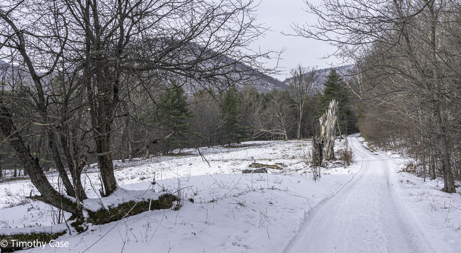
The first segment of the hike is along a narrow road with a farm east and to the right. 01-15-2021
Sony A7R2, 24-105mm f4.0.
Haystack Mountain is shown here in the background on the left side of this wonderful snag. 01-15-2021
Sony A7R2, 12-24mm f4.0.
There are a lot of old trees in the woods along the trail and Barbara is at the base of a large white oak. 01-15-2021
Sony A7R2, 12-24mm f4.0.
Icicles. The mountain is steep here and going off trail to reach the vantage point here, I found the footing very slippery because of the deep piles of leaves hidden under the snow. 01-15-2021
Sony A7R2, 12-24mm, f4.0.
Near the top of the summit is a forest that has been undisturbed for a long time, 200 years or more, with the characteristic old trees, snags and broken canopy. For some reason, I crave being in these now rare sections of old forest. I’m still working to articulate the sensations of being in them. I can say that I slow way down and enter a sense of meditative-like calm. I am, of course, concerned about the impact that climate change will have on forests, but especially on the few remaining old growth forests still remaining here in Vermont. 01-15-2021
Sony A7R2, 12-24mm f4.0.
A second view of the old forest just below the summit. 01-15-2021.
Sont A7R2, 12-24 f4.0
Barbara has reached the bare summit of Haystack Mountain, here in the Taconic Range. 01-15-2021
Sony A7R2, 12-24mm f4.0 @ 24mm, f8.0.
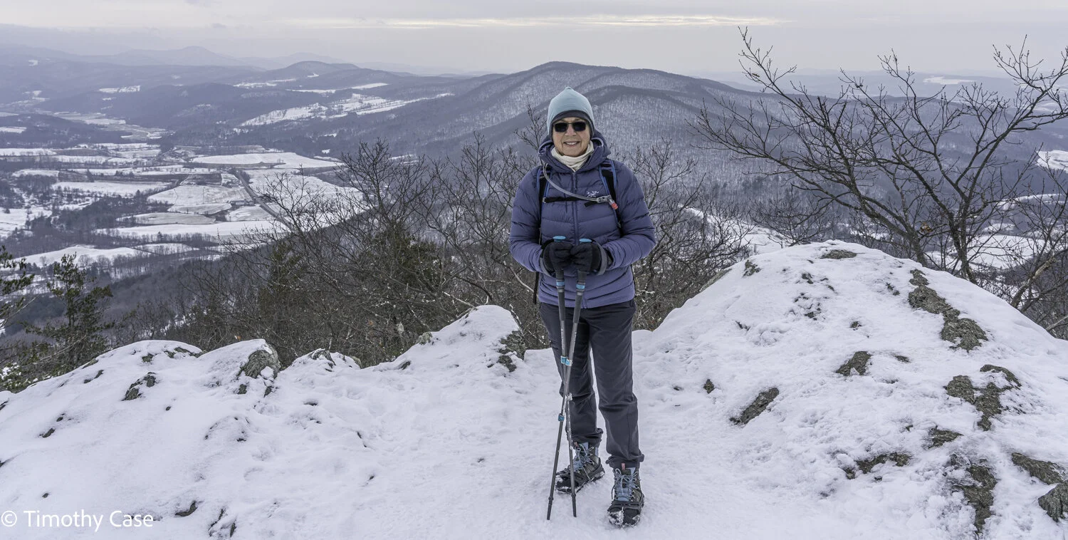
Barbara at the summit of the 1860’ peak of Haystack Mountain. While the Taconic Mountains in Vermont considerably lower the state’s Green Mountains, the unimpeded view here is arguably better for being lower and nearer the valley.
Barbara has a backpack with a 2.5 liter water bladder, and today she carried food, safety gear, and chemical hand warmers. Barbara almost always uses hiking poles; hers have an elastomer that provides wrist cushioning. 01-15-2021
Sony A7R2, 24-105mm f4.0.
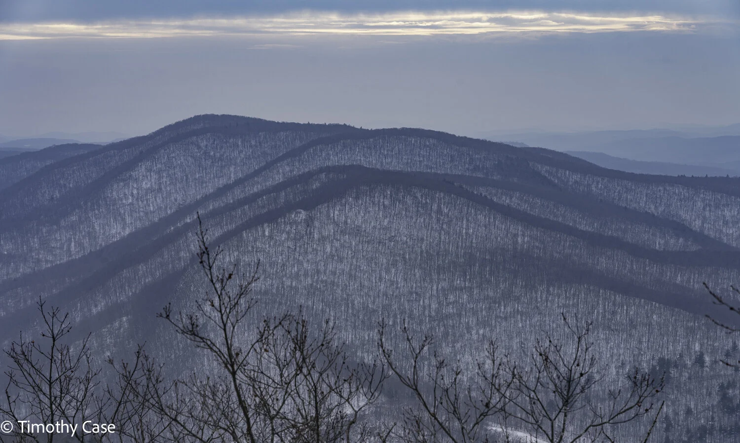
From the summit of Haystack Mountain, Vermont. 01-15-2021
Sony A7R2, 24-105mm f4.0
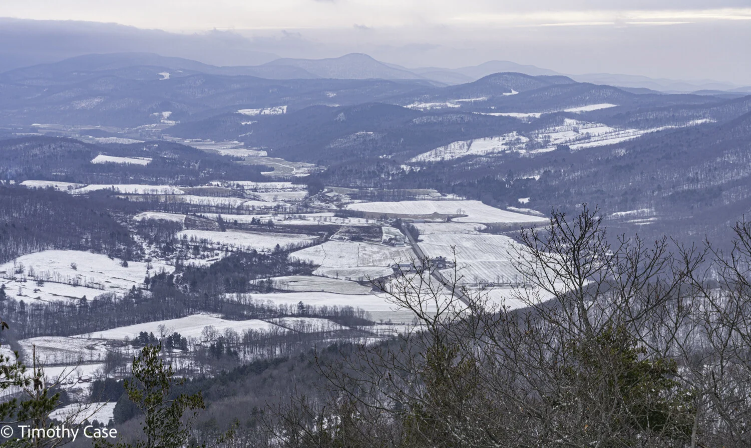
The summit has a spectacular 360° panoramic view. 01-15-2021
Sony A7R2, 24-105 f4.0
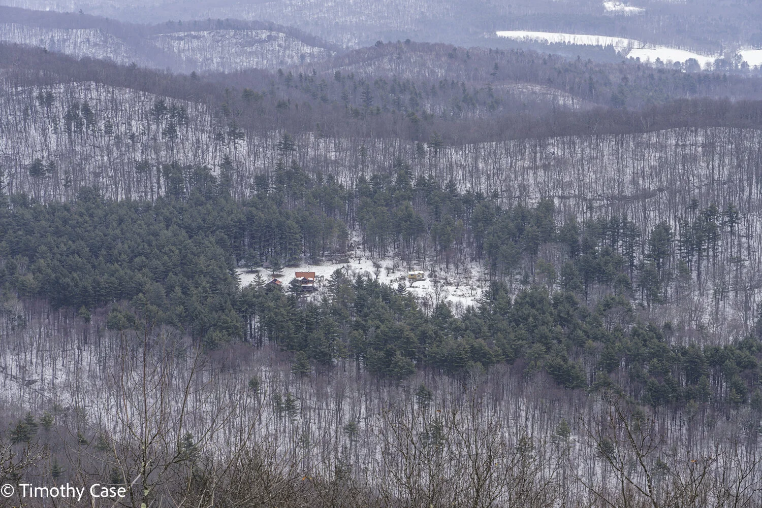
Home in forest clearing. 01-15-2021
Sony A7R2, 24-105mm f4.0.
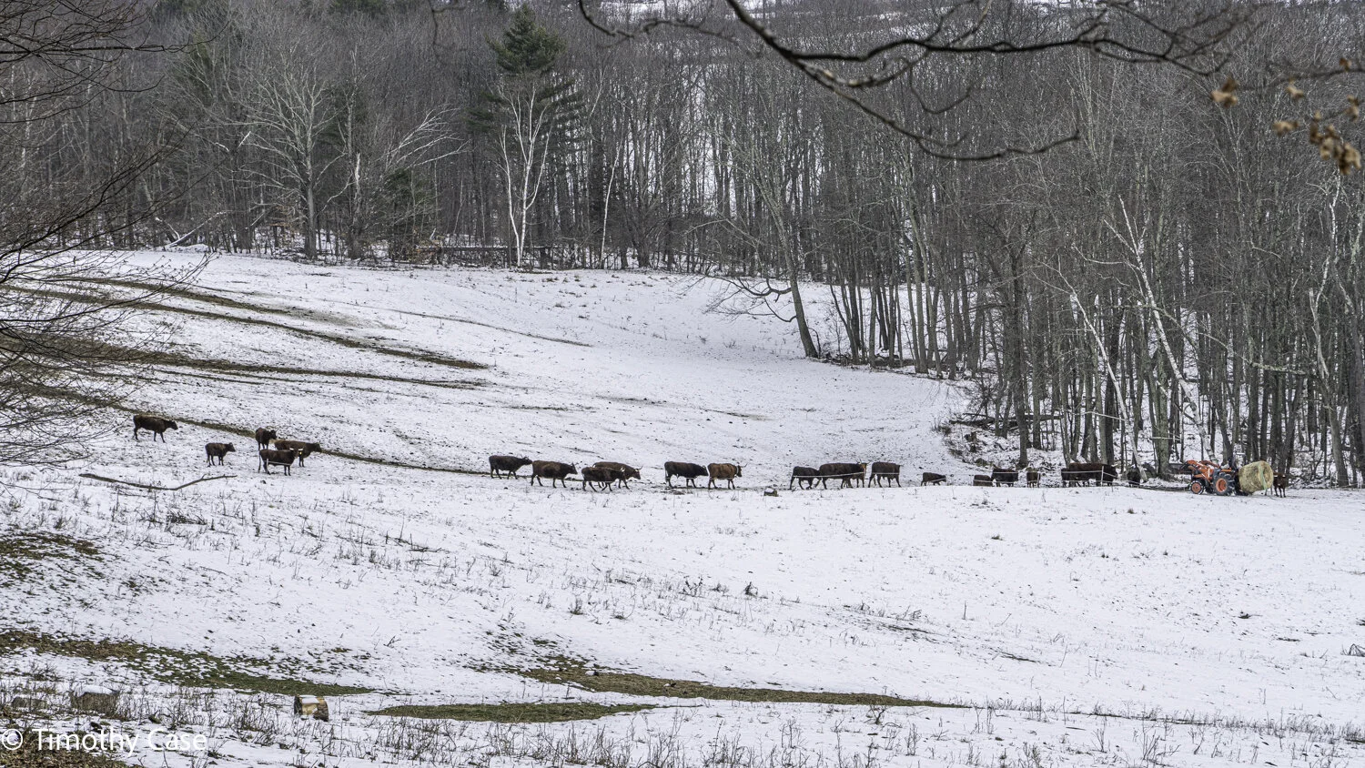
The valley echoed from the amazingly loud lowing of the large bull in a herd intent on reaching the ton bale being delivered by the farmer. 01-15-2021
Sony A7R2, 24-105mm f4.0 @ 105mm f8.0.
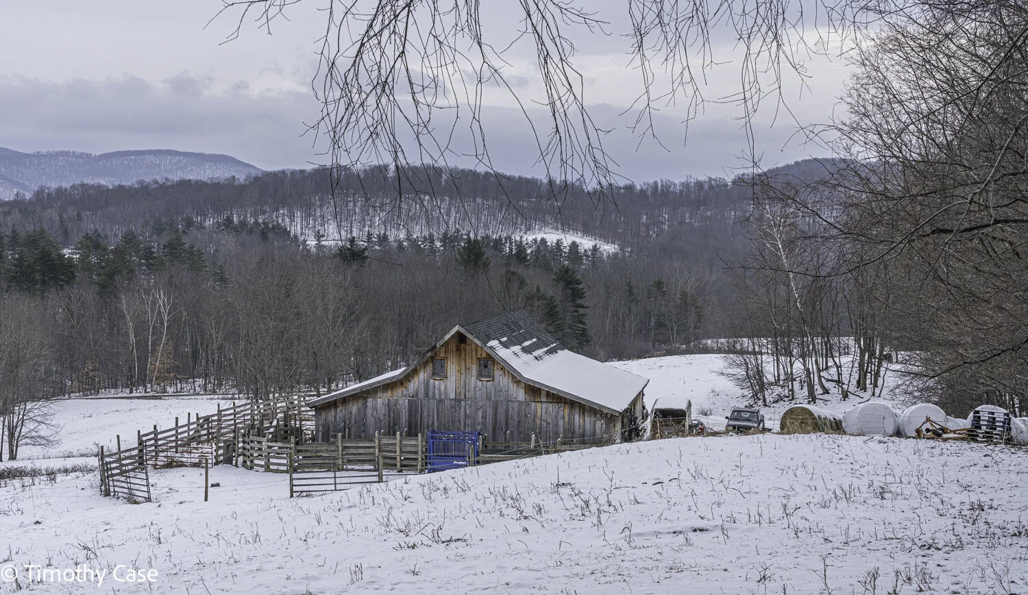
Barn and mountain setting adjacent to the trail to Hatstack Mountain. 01-15-2021
Sony A7R2, 24-105mm f4.0
High Pond Preserve
12.27.2020
High Pond Preserve is a Nature Conservancy property in the Taconic mountain range near Castleton, VT, about 40 minutes south of Middlebury. The trail rises, falls and winds through diverse areas in various stages of succession. An agricultural field with new tree growth was our first surprise. It was utterly delightful to see the area beginning its long return to a richer, more diverse ecology.

An abandoned farm implement in an old farming field that is now protected from the ecological impacts of agriculture. High Preserve Pond, Vermont. 12-27-2020
Sony A7RII, Sony 12-24 f4.0, Gitzo Travel tripod
Another area is a forest comprised largely of paper birches, some of which are old, large and wonderfully marked and scarred. Birches are one of the early arrivers to landscapes freed from the devastating impacts of human activities such as agriculture, mining, and quarrying. The old birches here suggest that significant human activity ceased decades ago. The trees in this area are deciduous and leafless this time of year and the terrain is open and light-filled and joyful. Other hardwood trees will eventually replace these pioneering but relatively short-lived birches. We savored this wonderful setting of these gorgeous trees.

A section of Gray Birch trees at High Pond Preserve, Vermont. 12-27-2020.
Sony A7RII, Sony 12-24 f4.0, Gitzo Travel tripod

A declining large Eastern Hemlock as evidenced by tree fungus. 12-27-2020
Sony A7RII, Sony 12-24 f4.0, Gitzo Travel tripod
One of the natural areas in the preserve is a conifer forest, primarily Eastern Hemlocks, with many inspiring mature trees, including live, snags and downed trees. The many hillocks and tangles point to a long period free from human interference. But the most striking feature to me of this landscape was the cacophony of calls from the large number and variety of birds living in this section of forest. The large number here are a testament to the maturity and complexity of this area of forest. It’s terribly exciting to be in a forest like this, and it gives me hope that some of the forests that we’ve lost can, over time and with protections, be restored to balance and will support a diverse, richness of wildlife.

An old, wizened—and dead—Hemlock snag is still standing and will continue to service the wider ecosystem at High Pond Preserve for many decades, Vermont, 12-27-2020.
Sony A7RII, Sony 12-24 f4.0 & Gitzo Travel tripod
The contrast of the richness of this forested landscape with most of the ones we see along trails in the Green Mountain forests his striking. There, the trees are part of a managed landscape open to clearcut logging, where the forests consist of uniformly sized and spaced trees with far less of the undergrowth and tree falls that offer wildlife the kind of niches they need. This beautiful Eastern Hemlock forest is a striking testament to what is gained by leaving nature undisturbed for a long period of time.

A messy and rich section of the forest at High Pond Preserve, Vermont. 12-27-2020
Sony A7RII, Sony 12-24 f4.0, Gitzo Travel tripod

Geomorphology operates continuously and here the stream bed is undermining the soil around this tree. High Pond Preserve, Vermont. 12-27-2020
Sony A7RII, Sony 12-24 f4.0, Gitzo Travel tripod
We reached the pristine, tree lined High Pond, which, while frozen, was not yet safe enough to walk on. I want to return later this winter to explore the shoreline when the pond ice is fully frozen.
On the return leg, we stopped occasionally to inspect some of the many animal tracks clearly evident on the light snow cover—I’ve never seen so many tracks in a Vermont forest! Next time we will return with our animal tracks guide next to identify what species are here. The variety and quality of the areas in the preserve was just so delectable that we continued to slow-walk our exit from this magical place and timed our finish to coincide with sunset. Perfect. Thank you Nature Conservancy—$ from us coming your way!
High Pond Trail at Half Moon Pond State Park
12.07.2020. Today’s temperature was in the upper 20s and the dense clouds meant that even at mid-day the light was dim. While the hike is less than 2 miles out and back, its beauty more than compensates for its short length. The trail meanders over hilly terrain dense with massive helmlocks. Two lovely ponds abut the trail; the lower is a beaver pond that has submerged the lower trunks many trees in the forest there; the upper, named High Pond, is remote seeming and pristine. The low temperatures formed a crust of silvery ice on both ponds and each pond’s icy surface was covered with a fine debris—green colored on the beaver pond and white on the upper. We had strong winds and some rain yesterday from a nor’easter that must somehow account for the dusting, although I could not identify the source of the particles. We identified two large woodpeckers at work, but they were too far to identify their markings. Next time we won’t forget our binoculars! On our way down from High Pond, we heard a heavy crash on the ridge above us, but our vision was obstructed by a ledge and we saw nothing. Perhaps we heard a large deer or moose, although I have seen several moose here in Vermont and they move amazingly stealthily, especially given their startlingly massive bodies, so perhaps it was just a large branch falling.
Partially submerged trees, some downed by beavers.
High Pond Trail, 12.07.2020
Fuji XH1 & Fuji 16-55 f2.8
Beaver dam and behind it—submerged trees.
High Pond Trail, 12.07.2020
Fuji XH1 & Fuji 16-55 f2.8
Some of the trees are fairly large. 12.07.2020
High Pond Trail, 12.07.2020
Fuji XH1 & Fuji 16-55 f2.8
Green debris scattered over the surface of the frozen beaver pond.
High Pond Trail, 12.07.2020
Fuji XH1 & Fuji 16-55 f2.8
High Pond has a fine dusting of white forest debris on its frozen surface—and an untamed quality that I love.
High Pond Trail, 12.07.2020
Fuji XH1 & Fuji 16-55 f2.8
Silent Cliff
This is a short (2.5 mile), moderately difficult hike reached from the parking lot at Middlebury Gap. The payoff is a spectacular view and terrain that is sleepy hollow-like in places with old trees, lots of mossy downed trees, and a hollow or two. Wonderful.
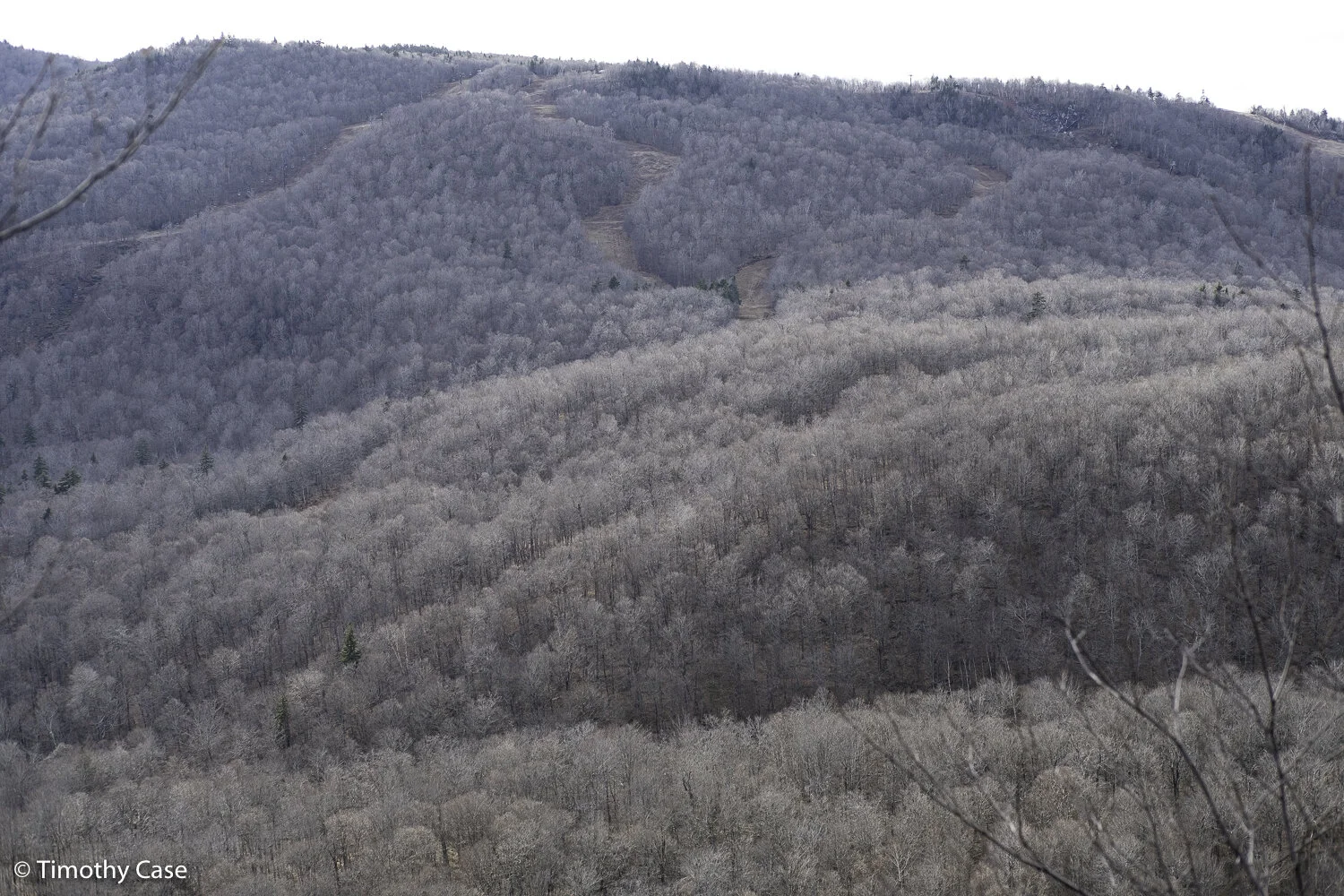
Snow Bowl Trails, Middlebury College, 11.21.20.
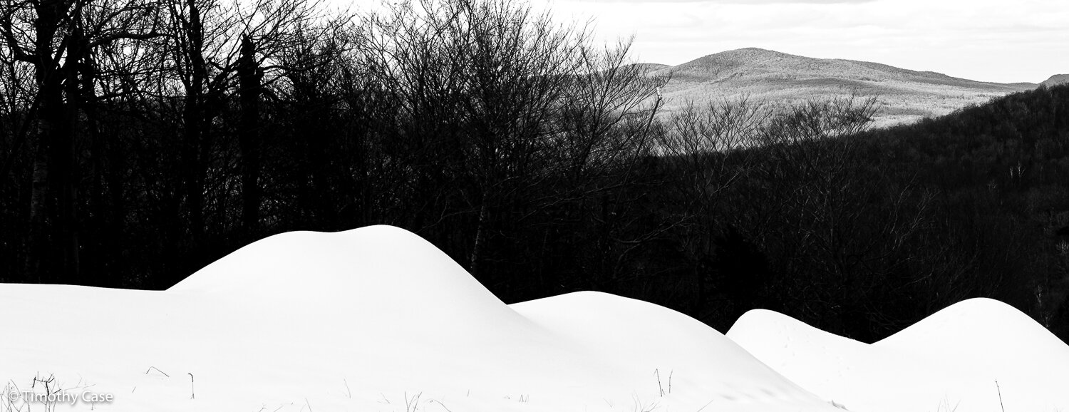
Mounds of artificial snow, Snow Bowl, Middlebury College, 11.21.20.
Hollow, 11.21.20.
Tangled limbs of Grey Birch. 11.21.20.
View of Rte 125 from Silent Cliff, 11.21.20.
Paper Birches, 11.21.20.
Barbara walks past a fallen Grey Birch tree. 11.21.20.
Waves, 11.21.20.
Riven. This American Birch tree has beech scale disease from the insect, Cryptococcus fagisuga. 1.21.20.
Oak Ridge
The trail to the first summit is about 5 miles out and back. Unlike many trails in Vermont, this one utilizes switch-backs that make this a fairly easy climb. After the leaves are down, the summit is surrounded on all sides by close-in higher peaks. The trail continues past the first summit and connects to numerous other trails in the Moosalalmoo National Recreational Area.
Leaf covered. 11.19.20.
Panasonic GX85 & Olympus 14-42 f3.5/5.6
Snow on path. 11.19.20
Panasonic GX85 & Olympus 14-42 f3.5/5.6
Barbara. 11.19.20
Panasonic GX85 & Olympus 14-42 f3.5/5.6
Ice. 11.19.20
Panasonic GX85 & Olympus 14-42 f3.5/5.6
Small creek. 11.19.20
Panasonic GX85 & Olympus 14-42 f3.5/5.6